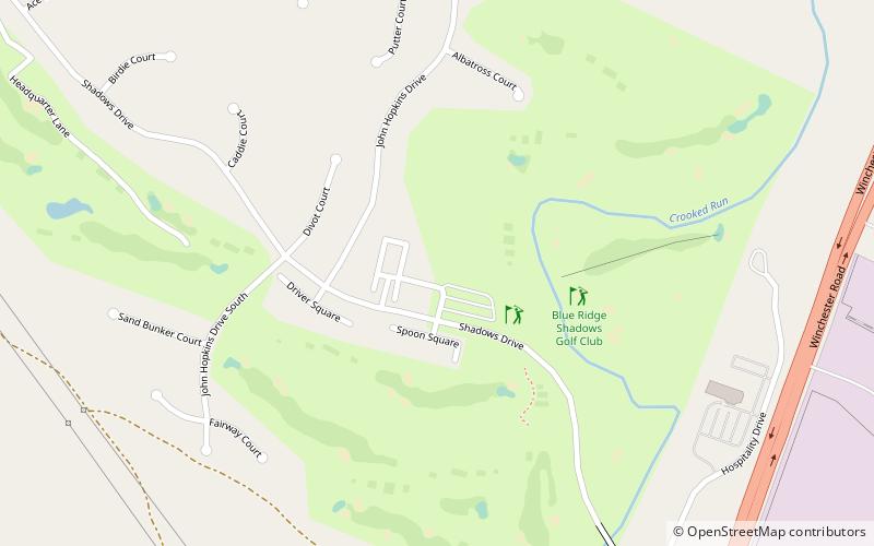
Blue Ridge Shadows Community, Front Royal
Map

Map

Facts and practical information
Blue Ridge Shadows Community (address: 456 Shadows Dr) is a place located in Front Royal (Virginia state) and belongs to the category of outdoor activities, golf.
It is situated at an altitude of 574 feet, and its geographical coordinates are 38°59'22"N latitude and 78°11'15"W longitude.
Among other places and attractions worth visiting in the area are: Christendom College (universities and schools, 92 min walk), Rose Hill (greek revival architecture, 104 min walk), Sonner Hall (universities and schools, 119 min walk).
Coordinates: 38°59'22"N, 78°11'15"W
Day trips
Blue Ridge Shadows Community – popular in the area (distance from the attraction)
Nearby attractions include: Balthis House, Virginia Beer Museum, St. Thomas Chapel, Christendom College.
Frequently Asked Questions (FAQ)
When is Blue Ridge Shadows Community open?
Blue Ridge Shadows Community is open:
- Monday 7 am - 7 pm
- Tuesday 7 am - 7 pm
- Wednesday 7 am - 7 pm
- Thursday 7 am - 7 pm
- Friday 7 am - 7 pm
- Saturday 7 am - 7 pm
- Sunday 7 am - 7 pm


