Mount Fairweather
Map

Map

Facts and practical information
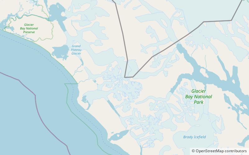
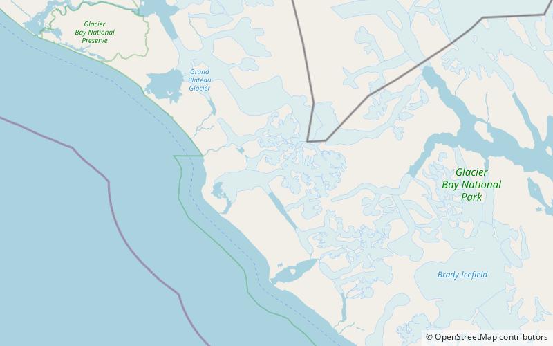
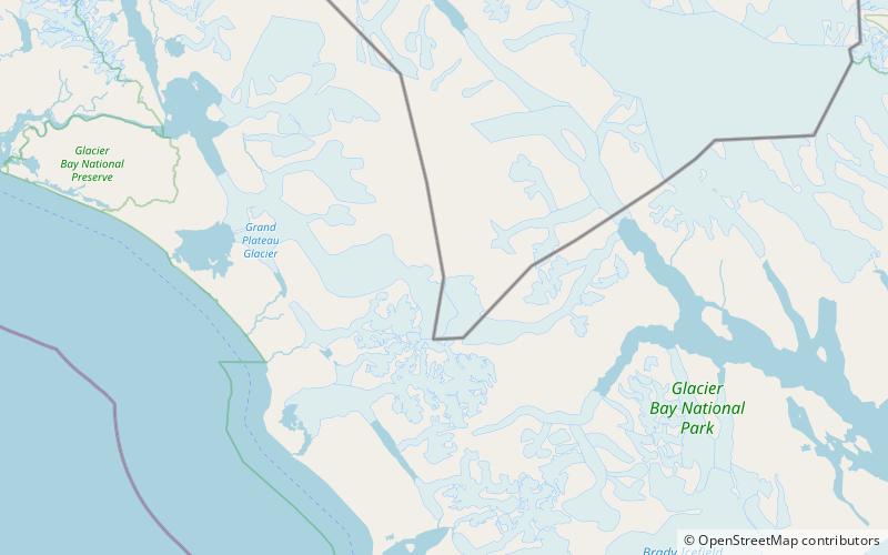
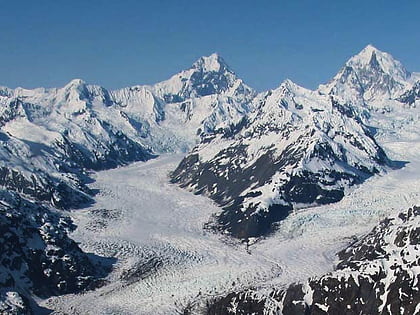
Mount Fairweather, is the highest mountain in the Canadian province of British Columbia, with an elevation of 4,671 metres. It is located 20 km east of the Pacific Ocean on the border of Alaska, United States and western British Columbia, Canada. Most of the mountain lies within Glacier Bay National Park and Preserve in the City and Borough of Yakutat, Alaska, though the summit borders Tatshenshini-Alsek Provincial Park, British Columbia. It is also designated as Boundary Peak 164 or as US/Canada Boundary Point #164. ()
Alternative names: First ascent: 1931Elevation: 15325 ftProminence: 12995 ftCoordinates: 58°54'23"N, 137°31'34"W
Location
Alaska
ContactAdd
Social media
Add
Day trips
Mount Fairweather – popular in the area (distance from the attraction)
Nearby attractions include: Fairweather Glacier, Mount Root, Mount Salisbury.


