Old City Hall, Knoxville
Map
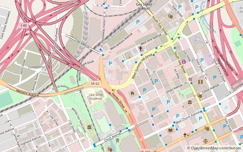
Map

Facts and practical information
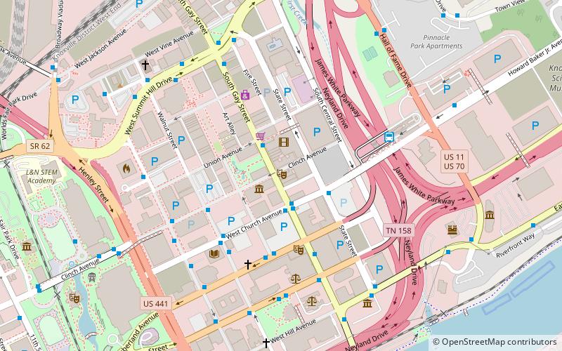
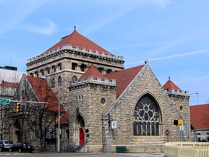
Old City Hall is a complex of historic buildings located at 601 West Summit Hill Drive in Knoxville, Tennessee, United States. Originally constructed in 1848 as the Tennessee School for the Deaf and Dumb, the complex served as Knoxville's city hall from 1925 until 1980. The complex has been listed on the National Register of Historic Places and has been documented by the Historic American Buildings Survey. It currently houses Lincoln Memorial University's Duncan School of Law. ()
Coordinates: 35°57'55"N, 83°55'23"W
Address
Downtown KnoxvilleKnoxville
ContactAdd
Social media
Add
Day trips
Old City Hall – popular in the area (distance from the attraction)
Nearby attractions include: World's Fair Park, Neyland Stadium, Knoxville Civic Coliseum, Thompson–Boling Arena.
Frequently Asked Questions (FAQ)
Which popular attractions are close to Old City Hall?
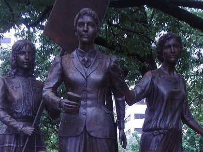
Nearby attractions include Market Square, Knoxville (6 min walk), Tennessee Woman Suffrage Memorial, Knoxville (6 min walk), Knoxville Museum of Art, Knoxville (7 min walk), World's Fair Park, Knoxville (7 min walk).
How to get to Old City Hall by public transport?
The nearest stations to Old City Hall:
Bus
Train
Bus
- Locust St.@Summit Towers Sb • Lines: Green Line Trolley (2 min walk)
- W. Summit Hill Dr. Past Walnut St. Wb • Lines: Green Line Trolley (2 min walk)
Train
- Jackson Terminal (9 min walk)
- Three Rivers Rambler (18 min walk)


