Mt Freedom Golf, Randolph
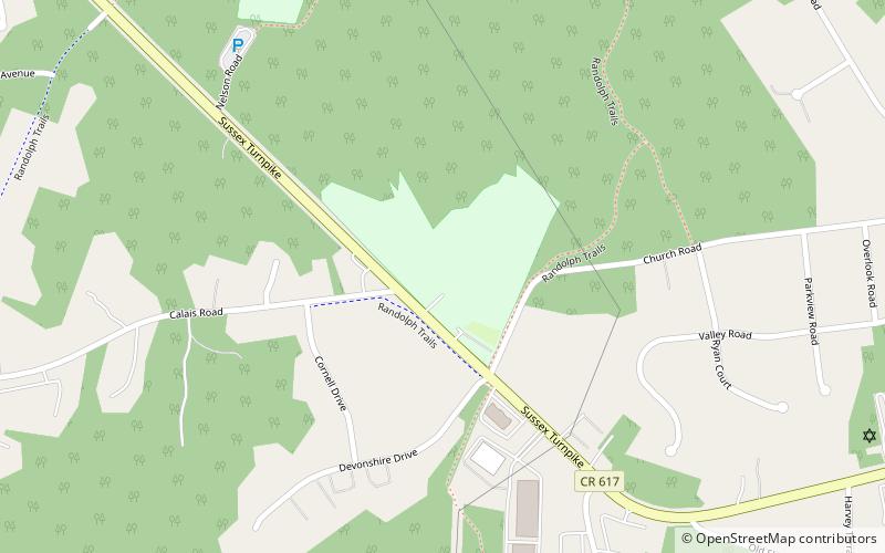
Map

Map

Facts and practical information
Mt Freedom Golf (address: 1275 Sussex Turnpike) is a place located in Randolph (New Jersey state) and belongs to the category of mini golf, golf.
It is situated at an altitude of 912 feet, and its geographical coordinates are 40°49'45"N latitude and 74°35'2"W longitude.
Among other places and attractions worth visiting in the area are: County College of Morris (universities and schools, 52 min walk), Baker Building, Dover (concerts and shows, 102 min walk), The Kubert School, Dover (universities and schools, 111 min walk).
Coordinates: 40°49'45"N, 74°35'2"W
Day trips
Mt Freedom Golf – popular in the area (distance from the attraction)
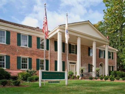
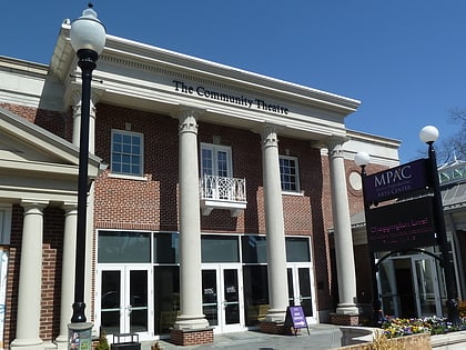
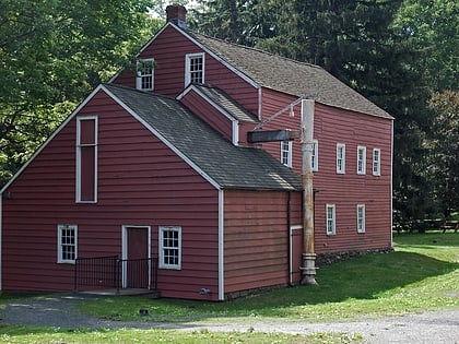
Nearby attractions include: Rockaway Townsquare, Jockey Hollow, Morristown Green, Fosterfields Living Historical Farm.


