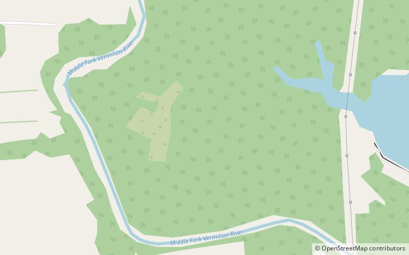
Collins Archeological District, Middle Fork State Fish and Wildlife Area
Map

Map

Facts and practical information
The Collins Archeological District is a pre-Columbian archaeological site located in Kennekuk County Park in Vermilion County, Illinois. The site dates from the Late Woodland period and was used roughly from 900 to 1100 A.D. The core of the site includes two mounds and a ceremonial area. The inhabitants of the region used the site for ceremonial purposes, and the ceremonies conducted at the site were influenced by Mississippian traditions. The site provides evidence of the spread of Mississippian culture from Cahokia to other peoples and regions. ()
Coordinates: 40°12'28"N, 87°44'32"W
Address
Middle Fork State Fish and Wildlife Area
ContactAdd
Social media
Add
