Corktown, Detroit
Map

Gallery

Facts and practical information
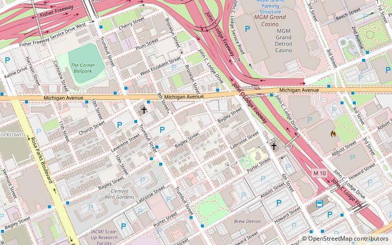
Corktown is a historic district located just west of Downtown Detroit, Michigan. It is the oldest extant neighborhood in the city. The current boundaries of the district include I-75 to the north, the Lodge Freeway to the east, Bagley and Porter streets to the south, and Rosa Parks Boulevard to the west. The neighborhood was listed on the National Register of Historic Places in 1978. ()
Coordinates: 42°19'50"N, 83°3'50"W
Address
Located directly south of Michigan Avenue, and directly west of the Lodge FreewayCorktownDetroit
Contact
Social media
Add
Day trips
Corktown – popular in the area (distance from the attraction)
Nearby attractions include: Joe Louis Arena, Cliff Bell's, Little Caesars Arena, Huntington Place.
Frequently Asked Questions (FAQ)
Which popular attractions are close to Corktown?
Nearby attractions include UIS Irish Plaza, Detroit (4 min walk), MGM Grand Detroit, Detroit (8 min walk), Town Apartments, Detroit (12 min walk), Beacon Park Detroit, Detroit (14 min walk).
How to get to Corktown by public transport?
The nearest stations to Corktown:
Bus
Light rail
Tram
Bus
- Michigan / 6th • Lines: 02 (3 min walk)
- Trumbull / Bagley • Lines: 01, 29 (3 min walk)
Light rail
- Michigan • Lines: Dpm (16 min walk)
- Times Square • Lines: Dpm (17 min walk)
Tram
- Grand Circus Park • Lines: QLine (21 min walk)
- Montcalm Street • Lines: QLine (22 min walk)


