Forest Park, Portland

Map
Facts and practical information
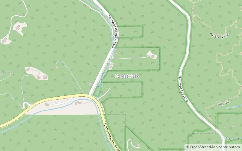
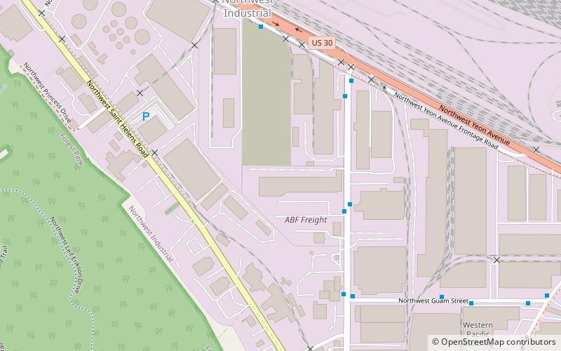
Forest Park, a neighborhood on the northwestern edge of Portland, Oregon, combines rolling green pastures, views east and west, and proximity to the attractions of Northwest District. The Forest Park neighborhood is named because of its proximity to Forest Park, the southern portion of which lies within the neighborhood boundaries and the rest of which is adjacent. Most of the neighborhood lies within unincorporated Multnomah County, though it does include some areas within Portland city limits. ()
Coordinates: 45°32'9"N, 122°44'20"W
Day trips
Forest Park – popular in the area (distance from the attraction)
Nearby attractions include: Pittock Mansion, Barbara Walker Crossing, Willamette Stone, Audubon Society of Portland.
Frequently Asked Questions (FAQ)
Which popular attractions are close to Forest Park?
Nearby attractions include Forest Park, Portland (18 min walk), Audubon Society of Portland, Portland (20 min walk), Natt and Christena McDougall House, Portland (23 min walk).
How to get to Forest Park by public transport?
The nearest stations to Forest Park:
Bus
Bus
- Northwest Thurman & Gordon • Lines: 26 (25 min walk)
- Northwest 35th & Guam • Lines: 15 (29 min walk)


