Burbank City Hall, Burbank
Map

Map

Facts and practical information
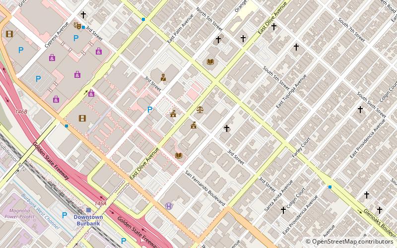
Burbank City Hall is the site of the municipal government of Burbank, California, and is listed on the National Register of Historic Places. ()
Built: 1943 (83 years ago)Coordinates: 34°10'54"N, 118°18'25"W
Day trips
Burbank City Hall – popular in the area (distance from the attraction)
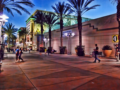
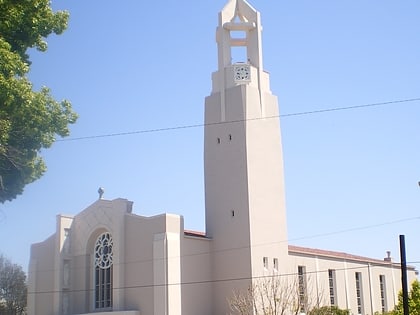
Nearby attractions include: Burbank Town Center, St. Robert Bellarmine Catholic Church, Womanhouse, St. Finbar School.
Frequently Asked Questions (FAQ)
How to get to Burbank City Hall by public transport?
The nearest stations to Burbank City Hall:
Train
Bus
Train
- Downtown Burbank (9 min walk)
Bus
- FlixBus Burbank • Lines: N2003 (10 min walk)


