Santa Clara Convention Center, Santa Clara
Map

Map

Facts and practical information
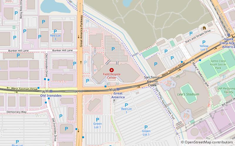
The Santa Clara Convention Center is located in northern Santa Clara, California. It serves as one of the large meeting and convention facilities in Silicon Valley, with 262,000 square feet of meeting space. It was built in 1986 and expanded in 2009. ()
Coordinates: 37°24'16"N, 121°58'30"W
Address
5001 Great America PkwySanta Clara (North 101)Santa Clara 95054-1119
Contact
+1 408-748-7000
Social media
Add
Day trips
Santa Clara Convention Center – popular in the area (distance from the attraction)
Nearby attractions include: California's Great America, Intel Museum, Levi's Stadium, Columbia Carousel.
Frequently Asked Questions (FAQ)
Which popular attractions are close to Santa Clara Convention Center?
Nearby attractions include Levi's Stadium, Santa Clara (8 min walk), Flight Deck, Santa Clara (12 min walk), Columbia Carousel, Santa Clara (13 min walk), Gold Striker, Santa Clara (14 min walk).
How to get to Santa Clara Convention Center by public transport?
The nearest stations to Santa Clara Convention Center:
Light rail
Bus
Train
Light rail
- Great America • Lines: Green, Orange (2 min walk)
- Old Ironsides • Lines: Green, Orange (7 min walk)
Bus
- West Tasman Drive & Convention Center Way • Lines: 823 (2 min walk)
- West Tasman Drive & Old Ironsides Drive • Lines: 59 (7 min walk)
Train
- Santa Clara-Great America (13 min walk)


