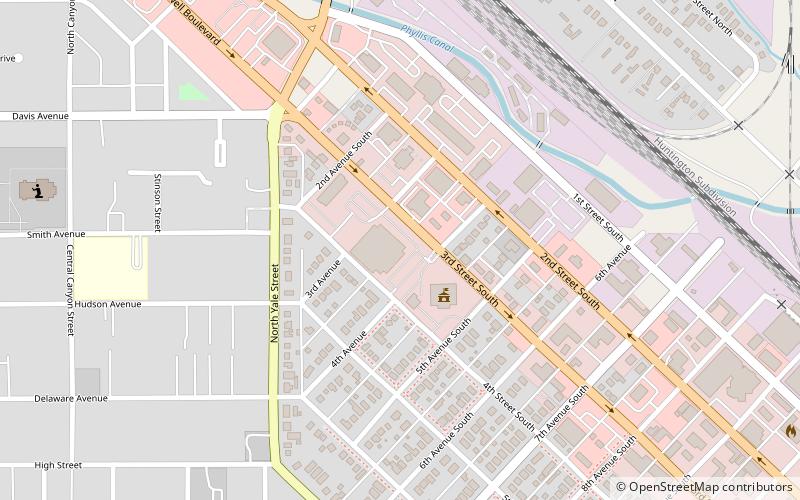
The Nampa Civic Center, Nampa
Map

Map

Facts and practical information
The Nampa Civic Center (address: 311 3rd St S) is a place located in Nampa (Idaho state) and belongs to the category of civic center, concert hall, entertainment.
It is situated at an altitude of 2480 feet, and its geographical coordinates are 43°34'59"N latitude and 116°34'16"W longitude.
Among other places and attractions worth visiting in the area are: Nampa Public Library (library, 15 min walk), Farmers and Merchants Bank (library, 16 min walk), Nampa Historic District (neighbourhood, 19 min walk).
Coordinates: 43°34'59"N, 116°34'16"W
Day trips
The Nampa Civic Center – popular in the area (distance from the attraction)
Nearby attractions include: Nampa Presbyterian Church, Lakeview Park, Nampa and Meridian Irrigation District Office, Nampa Public Library.
Frequently Asked Questions (FAQ)
Which popular attractions are close to The Nampa Civic Center?
Nearby attractions include Nampa Public Library, Nampa (15 min walk), Farmers and Merchants Bank, Nampa (16 min walk), Nampa Historic District, Nampa (19 min walk), Lions Park, Nampa (21 min walk).


