Main Street Bridge, Hartford
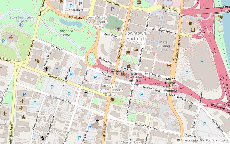
Map

Map

Facts and practical information
The Stone Bridge is a historic bridge in Hartford, Connecticut, carrying Main Street across the Whitehead Highway just south of the city's downtown. Built in 1833 across the Park River, it was the largest stone bridge in the United States at its completion. It was listed on the National Register of Historic Places in 1985. ()
Built: 1833 (193 years ago)Coordinates: 41°45'44"N, 72°40'28"W
Address
Downtown HartfordHartford
ContactAdd
Social media
Add
Day trips
Main Street Bridge – popular in the area (distance from the attraction)
Nearby attractions include: XL Center, Wadsworth Atheneum, Old State House, Dunkin' Donuts Park.
Frequently Asked Questions (FAQ)
Which popular attractions are close to Main Street Bridge?
Nearby attractions include Hartford Public Library, Hartford (2 min walk), The Amistad Center for Art & Culture, Hartford (2 min walk), St. John's Episcopal Church, Hartford (2 min walk), Buckingham Square District, Hartford (2 min walk).
How to get to Main Street Bridge by public transport?
The nearest stations to Main Street Bridge:
Bus
Train
Bus
- Hartford Megabus (14 min walk)
- Hartford Union Station (16 min walk)
Train
- Hartford (15 min walk)


