Tanner Trail, Grand Canyon National Park

Gallery (2)
Map

Map
Gallery
Facts and practical information
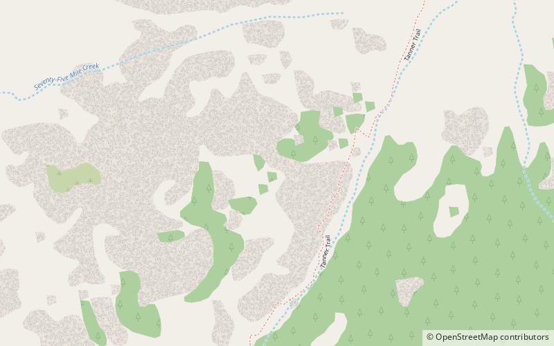
The Tanner Trail is a hiking trail located on the South Rim of the Grand Canyon National Park, located in the U.S. state of Arizona. The trailhead is located at Lipan Point, a prominent lookout located to the east of the Grand Canyon Village, and the trail ends at the Colorado River at Tanner Rapids. ()
Length: 9 miMaximum elevation: 7400 ftMinimal elevation: 2650 ftCoordinates: 36°2'24"N, 111°50'60"W
Address
Grand Canyon National Park
ContactAdd
Social media
Add
Day trips


