Fireside Bowl, Chicago
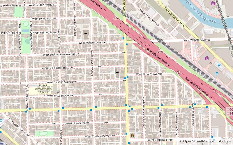
Map
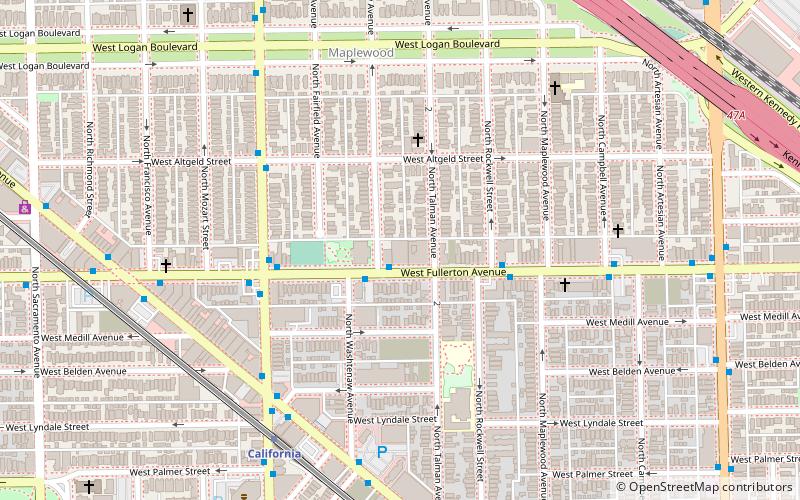
Map

Facts and practical information
Fireside Bowl is a bowling alley and music venue established in the 1940s, located at 2648 W Fullerton Ave in Chicago, Illinois. ()
Coordinates: 41°55'31"N, 87°41'40"W
Address
2648 W Fullerton AveNorth Side (Logan Square)Chicago 60647
Contact
(773) 486-2700
Social media
Add
Day trips
Fireside Bowl – popular in the area (distance from the attraction)
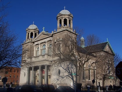
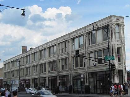
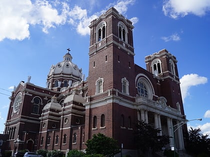
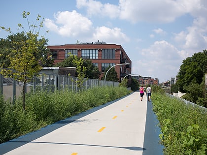
Nearby attractions include: Double Door, Constellation Jazz Club, Wicker Park, Basilica of Saint Hyacinth.
Frequently Asked Questions (FAQ)
Which popular attractions are close to Fireside Bowl?
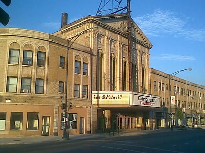
Nearby attractions include Congress Theater, Chicago (10 min walk), Logan Square Boulevards Historic District, Chicago (18 min walk), St. Hedwig's Church, Chicago (20 min walk), Minnekirken, Chicago (20 min walk).
How to get to Fireside Bowl by public transport?
The nearest stations to Fireside Bowl:
Bus
Metro
Bus
- Fullerton & Washtenaw WB • Lines: 74 (1 min walk)
Metro
- California • Lines: Blue (7 min walk)
- Western • Lines: Blue (19 min walk)

 Rail "L"