The James Monroe, Jersey City
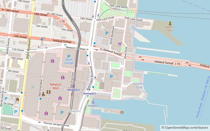
Map
Facts and practical information
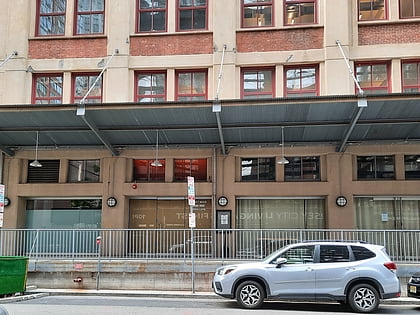
The James Monroe is a 312-foot-tall residential skyscraper in the Newport neighborhood of Jersey City, New Jersey. It was completed in 1989 and has 34 floors and stands at a height of 312 feet. The 443-unit, 34-story residential condominium tower contains studio apartments, one and two bedroom units, and three bedroom duplexes. It was developed by the Lefrak Organization of Rego Park, Queens together with Melvin Simon & Associates of Indianapolis and the Glimcher Company of Columbus, Ohio. ()
Completed: 1989 (37 years ago)Floors: 34Coordinates: 40°43'42"N, 74°2'1"W
Address
The WaterfrontJersey City
ContactAdd
Social media
Add
Day trips
The James Monroe – popular in the area (distance from the attraction)
Nearby attractions include: Newport Centre, White Eagle Hall, Headroom LGBTQ+ Lounge, Shearwater.
Frequently Asked Questions (FAQ)
Which popular attractions are close to The James Monroe?
Nearby attractions include Newport Tower, Jersey City (3 min walk), Towers of America, Jersey City (3 min walk), Newport, Jersey City (5 min walk), Marbella Apartments, Jersey City (11 min walk).
How to get to The James Monroe by public transport?
The nearest stations to The James Monroe:
Bus
Light rail
Metro
Train
Ferry
Bus
- Washington Boulevard at Newport Parkway • Lines: 126 (3 min walk)
Light rail
- Newport • Lines: Hblr (5 min walk)
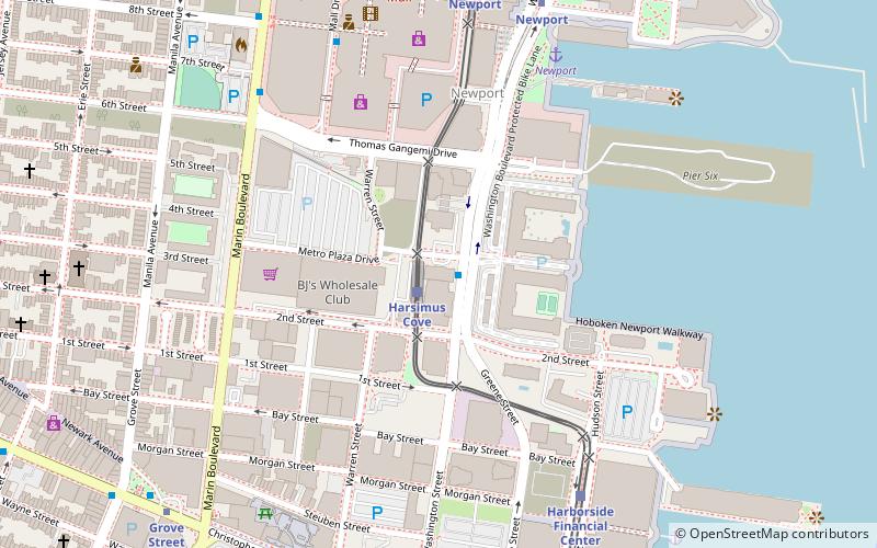
- Harsimus Cove • Lines: Hblr (12 min walk)
Metro
- Newport • Lines: Hob–Wtc, Jsq–33, JSQ–33 via HOB (5 min walk)
- Hoboken • Lines: Hob–33, Hob–Wtc, JSQ–33 via HOB (15 min walk)
Train
- Hoboken Terminal (15 min walk)
Ferry
- Hoboken NJ Transit Terminal (16 min walk)
- Paulus Hook Ferry Terminal (26 min walk)

