The Shelter, Detroit
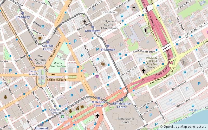
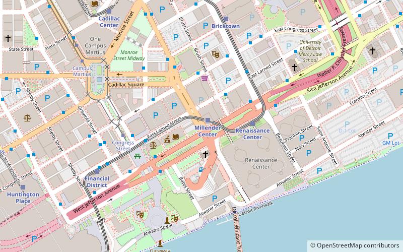
Map

Map

Facts and practical information
The Shelter is a music venue in Detroit, Michigan. It is located below Saint Andrew's Hall at 431 E. Congress St. A venue of the same name is featured in the film 8 Mile. ()
Capacity: 400Coordinates: 42°19'56"N, 83°2'29"W
Day trips
The Shelter – popular in the area (distance from the attraction)
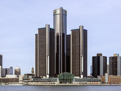
Nearby attractions include: Renaissance Center, Huntington Place, Campus Martius Park, Greektown Casino.
Frequently Asked Questions (FAQ)
Which popular attractions are close to The Shelter?
Nearby attractions include Saint Andrew's Hall, Detroit (1 min walk), Alexander Chapoton House, Detroit (2 min walk), Wayne County Building, Detroit (2 min walk), Globe Tobacco Building, Detroit (2 min walk).
How to get to The Shelter by public transport?
The nearest stations to The Shelter:
Bus
Light rail
Tram
Bus
- Congress / Beaubien • Lines: 255, 620, 67, 830 (1 min walk)
- Larned / Brush • Lines: 03, 05, 09, 255, 261, 461, 462, 52, 620, 67, 830, 851, 92 (3 min walk)
Light rail
- Bricktown • Lines: Dpm (2 min walk)
- Millender Center • Lines: Dpm (4 min walk)
Tram
- Congress Street • Lines: QLine (7 min walk)
- Campus Martius • Lines: QLine (8 min walk)


