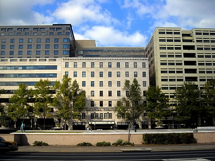
The Shops at National Place, Washington D.C.
Map
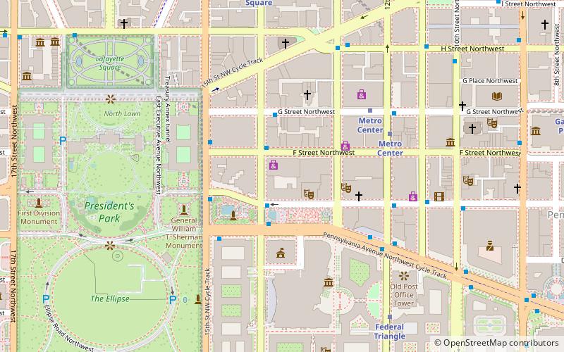
Map

Facts and practical information
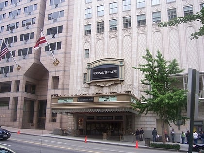
The Shops at National Place was a three-level, indoor shopping mall located in downtown Washington, D.C. in the 16-story National Place Building. It is located on the block bounded by Pennsylvania Avenue, F Street, between 13th and 14th Streets NW, the former site of the Munsey Trust Building. It was located near the Metro Center station of the Washington Metro system. ()
Coordinates: 38°53'48"N, 77°1'53"W
Address
Northwest Washington (Downtown-Penn Quarter-Chinatown)Washington D.C.
ContactAdd
Social media
Add
Day trips
The Shops at National Place – popular in the area (distance from the attraction)
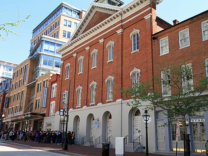
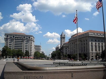
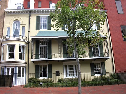
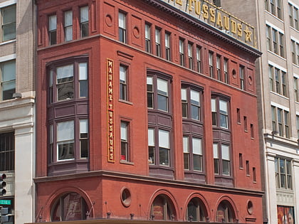
Nearby attractions include: Ford's Theatre, Freedom Plaza, White House Gifts, Madame Tussauds DC.
Frequently Asked Questions (FAQ)
Which popular attractions are close to The Shops at National Place?
Nearby attractions include National Theatre, Washington D.C. (2 min walk), Freedom Plaza, Washington D.C. (2 min walk), Federal-American National Bank, Washington D.C. (3 min walk), Armenian Genocide Museum of America, Washington D.C. (3 min walk).
How to get to The Shops at National Place by public transport?
The nearest stations to The Shops at National Place:
Metro
Bus
Train
Metro
- Metro Center • Lines: Bl, Or, Rd, Sv (6 min walk)
- Federal Triangle • Lines: Bl, Or, Sv (8 min walk)
Bus
- 19th St & F St Northwest (17 min walk)
- MTA Bus Stop • Lines: 305, 315 (20 min walk)
Train
- L'Enfant (25 min walk)
- Rayburn (33 min walk)

