Trek Zone

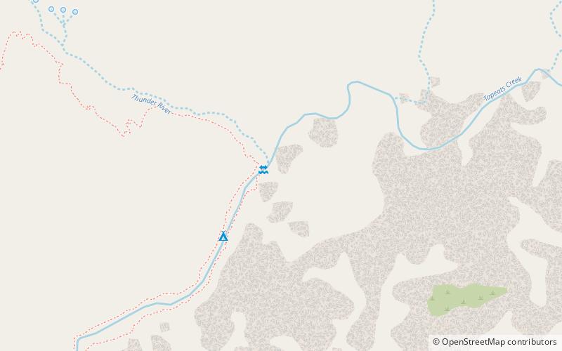
Thunder River Trail, Grand Canyon National Park

#23 among attractions in Grand Canyon National Park

Hiking, Hiking trail, Outdoor activities, Park
Thunder River Trail location map
Map

Facts and practical information

Length: 17.7 miMaximum elevation: 6400 ftMinimal elevation: 2000 ftCoordinates: 36°23'31"N, 112°27'4"W
Address

Indian HollowGrand Canyon National Park United States

Contact
Social media
Day trips

Thunder River Trail – popular in the area (distance from the attraction)

Nearby attractions include: Steamboat Mountain, Bill Hall Trail.

  • steamboat mountain3.4 miSE
  • bill hall trail kaibab national forest3.2 miN

Where to next? Visit arizona Arizona region page or discover the top tourist attractions in United States.