Tonto Trail, Grand Canyon National Park
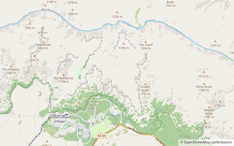
Map
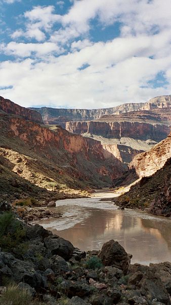
Gallery
Facts and practical information
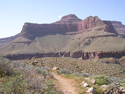
The Tonto Trail is a hiking trail on the South Rim of the Grand Canyon in Grand Canyon National Park, located in the U.S. state of Arizona. ()
Length: 70 miSeason: All yearElevation: 3757 ft a.s.l.Coordinates: 36°4'35"N, 112°6'25"W
Day trips
Tonto Trail – popular in the area (distance from the attraction)
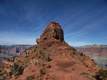
Nearby attractions include: O'Neill Butte, Cope Butte, Plateau Point, Plateau Point Trail.
Frequently Asked Questions (FAQ)
How to get to Tonto Trail by public transport?
The nearest stations to Tonto Trail:
Bus
Bus
- Yavapai Geology Museum • Lines: Kaibab/Rim Route (East-bound), Kaibab/Rim Route (West-bound) (25 min walk)
- Mather Point • Lines: Kaibab/Rim Route (West-bound) (26 min walk)
