TradeMark, Charlotte
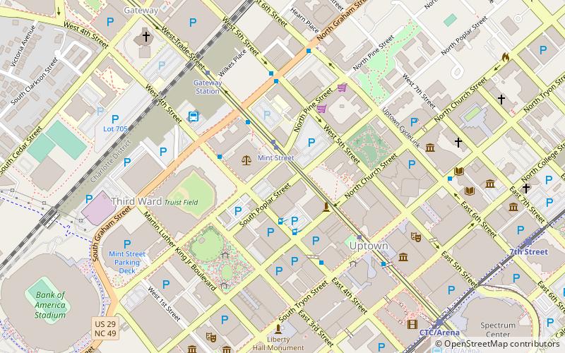
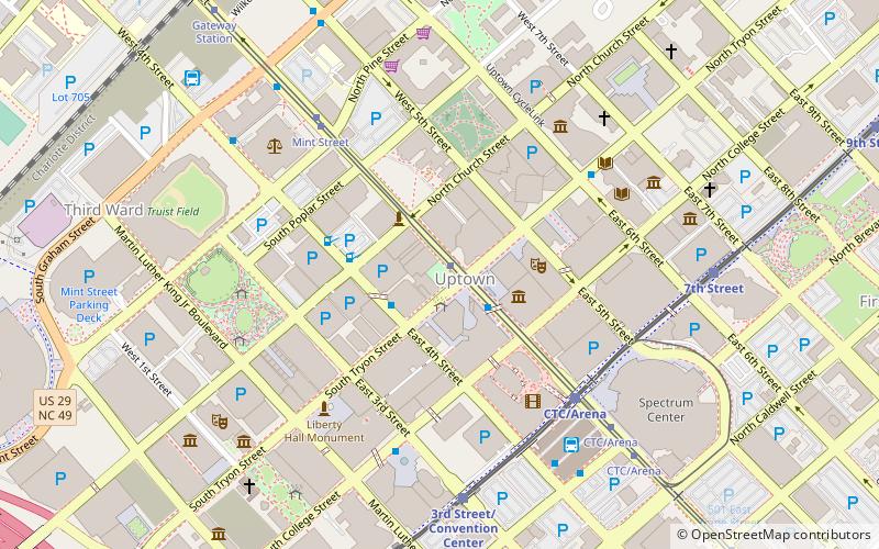
Map

Map

Facts and practical information
TradeMark is a 325 feet tall, primarily residential, skyscraper in Charlotte, North Carolina. It was completed in 2007 and has 28 floors and 200 residential units. Additionally it is one of the tallest buildings in Uptown Charlotte. ()
Opened: 2007 (19 years ago)Floors: 28Coordinates: 35°13'44"N, 80°50'45"W
Address
Uptown (Third Ward)Charlotte
ContactAdd
Social media
Add
Day trips
TradeMark – popular in the area (distance from the attraction)
Nearby attractions include: Discovery Place, Spectrum Center, Truist Field, Bank of America Stadium.
Frequently Asked Questions (FAQ)
Which popular attractions are close to TradeMark?
Nearby attractions include First Presbyterian Church, Charlotte (3 min walk), Ascent Uptown, Charlotte (4 min walk), The Vue, Charlotte (4 min walk), Old Settlers' Cemetery, Charlotte (4 min walk).
How to get to TradeMark by public transport?
The nearest stations to TradeMark:
Tram
Bus
Light rail
Tram
- Mint Street • Lines: Gold (2 min walk)
- Tryon Street • Lines: Gold (5 min walk)
Bus
- West Trade Street at Church Street • Lines: 1 (3 min walk)
- West 4th Street at South Graham Street • Lines: 1 (3 min walk)
Light rail
- CTC/Arena • Lines: Blue (10 min walk)
- 3rd Street/Convention Center • Lines: Blue (10 min walk)


