McWay Falls, Big Sur

Gallery (2)
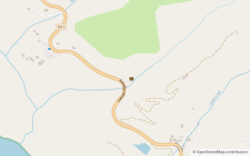
Map
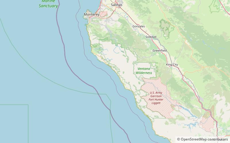
Map
Gallery
Facts and practical information
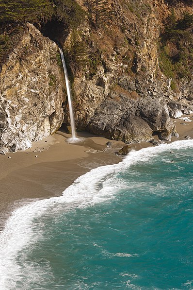
McWay Falls is an 80-foot-tall waterfall on the coast of Big Sur in central California that flows year-round from McWay Creek in Julia Pfeiffer Burns State Park, about 37 miles south of Carmel, into the Pacific Ocean. During high tide, it is a tidefall, a waterfall that empties directly into the ocean. The only other tidefall in California is Alamere Falls. ()
Address
Big Sur
ContactAdd
Social media
Add
Day trips