University of Michigan-Dearborn, Dearborn
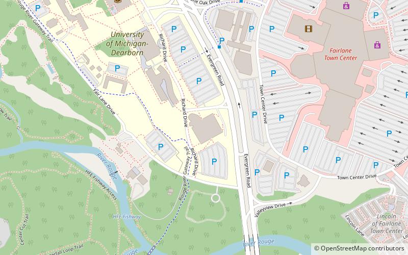
Map

Gallery

Facts and practical information
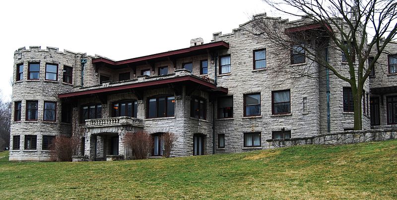
The University of Michigan–Dearborn is a public university in Dearborn, Michigan. It is one of the two regional universities operating under the policies of the University of Michigan Board of Regents. ()
Established: 1959 (67 years ago)Coordinates: 42°19'4"N, 83°13'57"W
Day trips
University of Michigan-Dearborn – popular in the area (distance from the attraction)
Nearby attractions include: The Henry Ford, Fairlane Town Center, Fair Lane, Automotive Hall of Fame.
Frequently Asked Questions (FAQ)
Which popular attractions are close to University of Michigan-Dearborn?
Nearby attractions include Fair Lane, Dearborn (7 min walk), Henry Ford College, Dearborn (14 min walk), St. Sarkis Church, Detroit (23 min walk), Islamic Center of America, Dearborn (23 min walk).
How to get to University of Michigan-Dearborn by public transport?
The nearest stations to University of Michigan-Dearborn:
Bus
Train
Bus
- Evergreen / Hubbard NS • Lines: 250 (6 min walk)
- Evergreen / Union at Dearborn • Lines: 200, 210 (6 min walk)
Train
- Smith's Creek Depot Station (19 min walk)
- Dearborn (20 min walk)


