Valley Falls State Park

Gallery (1)
Map
Map
Facts and practical information
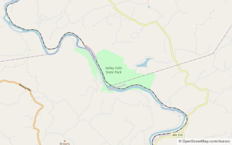
Valley Falls State Park is a 1,145 acre day use facility sited along both banks of the Tygart Valley River. The park is located about 7 miles south of exit 137 of I-79, near Fairmont, West Virginia. ()
Established: 1964 (62 years ago)Coordinates: 39°23'34"N, 80°4'56"W
Day trips


