Valley Fields, Milwaukee
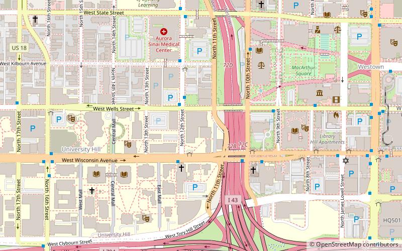
Map
Facts and practical information
Valley Fields is a 1,750-seat outdoor stadium and practice facility in Milwaukee, Wisconsin, primarily used by the varsity men's and women's soccer and lacrosse teams at Marquette University, all of which compete in the Big East Conference. The complex houses bleachers, locker rooms, practice fields and a main stadium. ()
Opened: 1993 (33 years ago)Coordinates: 43°2'23"N, 87°55'35"W
Address
MarquetteMilwaukee
ContactAdd
Social media
Add
Getting there by public transportation
Public transportation stops near this location
- Bus
- Tram
- Train
 Bus
Bus
- Calculate routeFlixBus Milwaukee 11 min walk
- Calculate routeMilwaukee Greyhound Station 15 min walk
- Calculate routeMilwaukee 16 min walk
- Calculate routeIntermodal Station 16 min walk
- Calculate routeSaint Paul at Plankinton 21 min walk
- Calculate routeCity Hall 25 min walk
- Calculate routeWisconsin Avenue 25 min walk
Day trips


Frequently Asked Questions (FAQ)
Which popular attractions are close to Valley Fields?
Nearby attractions include Chudnow Museum of Yesteryear, Milwaukee (3 min walk), Gesu Church, Milwaukee (3 min walk), Calvary Presbyterian Church, Milwaukee (4 min walk), St. James Episcopal Church, Milwaukee (5 min walk).
How to get to Valley Fields by public transport?
The nearest stations to Valley Fields:
Bus
Train
Tram
Bus
- FlixBus Milwaukee • Lines: 2511 (11 min walk)
- Milwaukee Greyhound Station (15 min walk)
Train
- Milwaukee (16 min walk)
Tram
- Intermodal Station • Lines: M (16 min walk)
- Saint Paul at Plankinton • Lines: M (21 min walk)