Greektown, Detroit
Map

Gallery

Facts and practical information
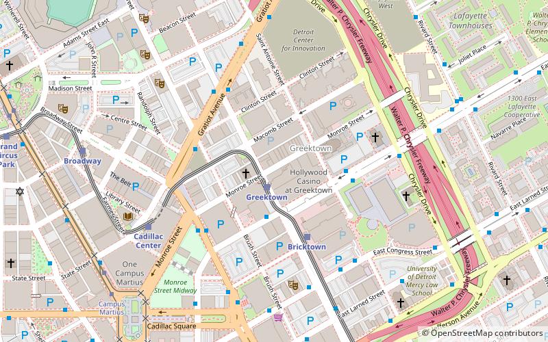
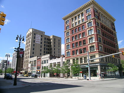
Greektown is a historic commercial and entertainment district in Detroit, Michigan, located just northeast of the heart of downtown, along Monroe Avenue between Brush and St. Antoine streets. It has a station by that name on the city's elevated downtown transit system known as the Detroit People Mover. Greektown is situated between the Renaissance Center, Comerica Park, and Ford Field. ()
Address
Along Monroe Ave between Brush and St. Antoine StsDowntown DetroitDetroit
Contact
Social media
Add
Day trips
Greektown – popular in the area (distance from the attraction)
Nearby attractions include: Ford Field, Comerica Park, Campus Martius Park, Greektown Casino.
Frequently Asked Questions (FAQ)
Which popular attractions are close to Greektown?
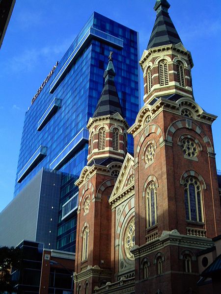
Nearby attractions include St. Mary Roman Catholic Church, Detroit (1 min walk), Second Baptist Church, Detroit (2 min walk), Greektown Casino, Detroit (2 min walk), Detroit Cornice and Slate Company Building, Detroit (3 min walk).
How to get to Greektown by public transport?
The nearest stations to Greektown:
Light rail
Bus
Tram
Light rail
- Greektown • Lines: Dpm (1 min walk)
- Bricktown • Lines: Dpm (4 min walk)
Bus
- Lafayette / Beaubien • Lines: 05, 52 (3 min walk)
- Gratiot / Brush NS • Lines: 06, 530 (4 min walk)
Tram
- Campus Martius • Lines: QLine (9 min walk)
- Congress Street • Lines: QLine (11 min walk)


