Snow Park at Alpine Hills, Rockford
Map
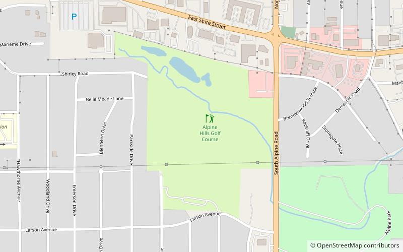
Map

Facts and practical information
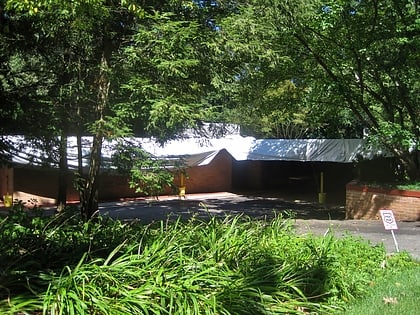
Snow Park at Alpine Hills (address: 4402 Larson Ave) is a place located in Rockford (Illinois state) and belongs to the category of golf.
It is situated at an altitude of 778 feet, and its geographical coordinates are 42°15'41"N latitude and 89°1'56"W longitude.
Among other places and attractions worth visiting in the area are: Rockford University (universities and schools, 22 min walk), Rockford Park District (neighbourhood, 43 min walk), Herrick Cobblestone (greek revival architecture, 43 min walk).
Coordinates: 42°15'41"N, 89°1'56"W
Day trips
Snow Park at Alpine Hills – popular in the area (distance from the attraction)
Nearby attractions include: Cherryvale Mall, Burpee Museum of Natural History, Anderson Japanese Gardens, Haight Village Historic District.


