The Hall, Indianapolis
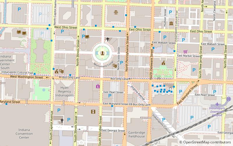
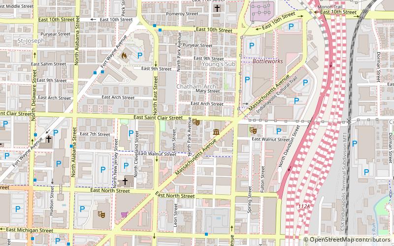
Map
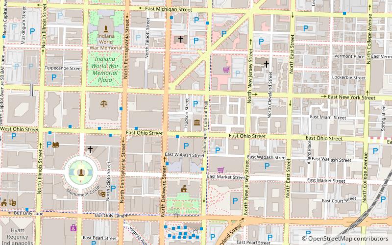
Map

Facts and practical information
Old Indianapolis City Hall, formerly known as the Indiana State Museum, is a historic city hall located at Indianapolis, Indiana. It was built in 1909–1910, and is a four-story, Classical Revival style brick building sheathed in Indiana limestone. It measures 188 feet by 133 feet. ()
Built: 1909 (117 years ago)Coordinates: 39°46'13"N, 86°9'11"W
Address
202 North Alabama StreetDowntown Indianapolis (Market East)Indianapolis
ContactAdd
Social media
Add
Day trips
The Hall – popular in the area (distance from the attraction)
Nearby attractions include: Circle Centre Mall, Gainbridge Fieldhouse, Christ Church Cathedral, City Market.
Frequently Asked Questions (FAQ)
Which popular attractions are close to The Hall?
Nearby attractions include Bals–Wocher House, Indianapolis (2 min walk), Bicycle Garage Indy, Indianapolis (3 min walk), City Market, Indianapolis (3 min walk), The Baker, Indianapolis (3 min walk).
How to get to The Hall by public transport?
The nearest stations to The Hall:
Bus
Train
Bus
- FlixBus Indianapolis • Lines: 2511 (6 min walk)
- Julia M. Carson Transit Center (7 min walk)
Train
- Indianapolis Union Station (17 min walk)
- Canal (28 min walk)


