Red Hat Amphitheater, Raleigh
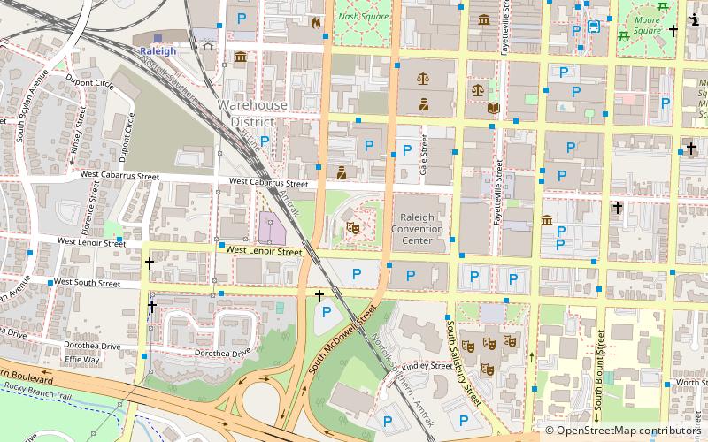
Map

Map

Facts and practical information
The Red Hat Amphitheater is an amphitheatre in Raleigh, North Carolina. It is adjacent to the Raleigh Convention Center. ()
Opened: 4 June 2010 (15 years ago)Capacity: 5990Coordinates: 35°46'25"N, 78°38'34"W
Day trips
Red Hat Amphitheater – popular in the area (distance from the attraction)
Nearby attractions include: North Carolina State Capitol, City Market, Pullen Park Carousel, City of Raleigh Museum.
Frequently Asked Questions (FAQ)
Which popular attractions are close to Red Hat Amphitheater?
Nearby attractions include Raleigh Convention Center, Raleigh (3 min walk), North Carolina Theatre, Raleigh (6 min walk), Duke Energy Center for the Performing Arts, Raleigh (7 min walk), CAM Raleigh, Raleigh (7 min walk).
How to get to Red Hat Amphitheater by public transport?
The nearest stations to Red Hat Amphitheater:
Bus
Train
Bus
- McDowell Street & Lenior Street • Lines: 305 (2 min walk)
- Dawson Street & Cabarrus Street • Lines: 7 (3 min walk)
Train
- Raleigh (10 min walk)


