Lakes of the Clouds, White Mountain National Forest
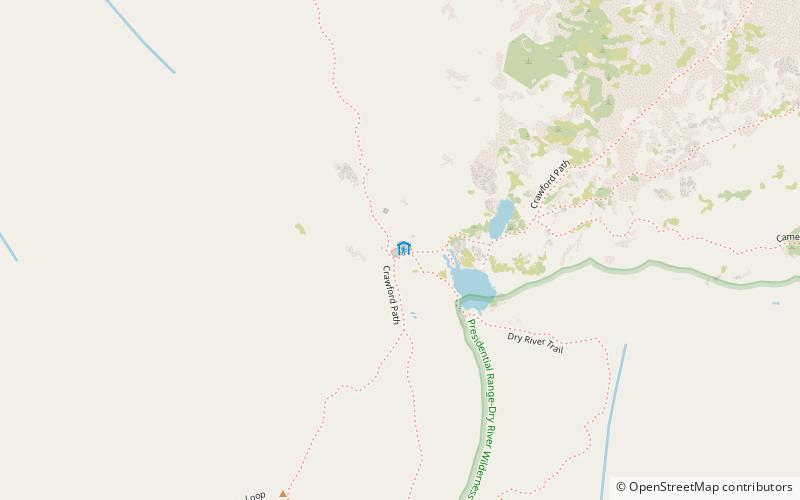
Map

Map

Facts and practical information
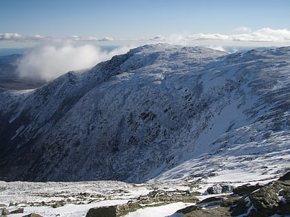
The Lakes of the Clouds are a set of tarns located at the 5,032 ft col between Mount Monroe and Mount Washington in the White Mountains of the U.S. state of New Hampshire. The lakes form the source of the Ammonoosuc River, a tributary of the Connecticut River. They are recorded by the Geographic Names Information System as the highest elevation lakes in the United States east of South Dakota. ()
Elevation: 5026 ft a.s.l.Coordinates: 44°15'32"N, 71°19'8"W
Day trips
Lakes of the Clouds – popular in the area (distance from the attraction)
Nearby attractions include: Mount Washington, Mount Monroe, Mount Washington State Park, Boott Spur.
Frequently Asked Questions (FAQ)
Which popular attractions are close to Lakes of the Clouds?
Nearby attractions include Mount Monroe, White Mountain National Forest (8 min walk), Mount Franklin, White Mountain National Forest (22 min walk).
How to get to Lakes of the Clouds by public transport?
The nearest stations to Lakes of the Clouds:
Train
Train
- Summit (28 min walk)


