Golf Center Des Plaines, Des Plaines
Map
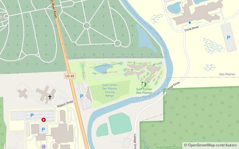
Map

Facts and practical information
Golf Center Des Plaines (address: 353 N River Rd) is a place located in Des Plaines (Illinois state) and belongs to the category of outdoor activities, golf.
It is situated at an altitude of 627 feet, and its geographical coordinates are 42°3'32"N latitude and 87°53'9"W longitude.
Among other places and attractions worth visiting in the area are: All Saints Cemetery (cemetery, 12 min walk), McDonald's Museum (specialty museum, 23 min walk), Des Plaines Public Library (library, 33 min walk).
Coordinates: 42°3'32"N, 87°53'9"W
Address
353 N River RdDes PlainsDes Plaines 60016-1210
Contact
+1 847-803-4653
Social media
Add
Day trips
Golf Center Des Plaines – popular in the area (distance from the attraction)
Nearby attractions include: Allstate Arena, Golf Mill Shopping Center, Randhurst Village, Pickwick Theatre.
Frequently Asked Questions (FAQ)
When is Golf Center Des Plaines open?
Golf Center Des Plaines is open:
- Monday 9 am - 5 pm
- Tuesday 9 am - 5 pm
- Wednesday 9 am - 5 pm
- Thursday 9 am - 5 pm
- Friday 9 am - 5 pm
- Saturday 9 am - 5 pm
- Sunday 9 am - 5 pm
Which popular attractions are close to Golf Center Des Plaines?
Nearby attractions include All Saints Cemetery, Des Plaines (12 min walk), McDonald's Museum, Des Plaines (23 min walk).


