Eastern Cemetery, Louisville
Map
Facts and practical information
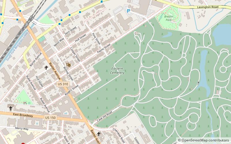
Eastern Cemetery is a 28-acre cemetery located at 641 Baxter Avenue in Louisville, Kentucky, United States, abutting Cave Hill Cemetery. It contains about 16,000 graves, though documentation for about 138,000 bodies. This imbalance is due to the cemetery formerly being a site for mass paupers' graves and from the reuse of grave sites. ()
Coordinates: 38°14'48"N, 85°43'29"W
Address
639 Baxter AveThe Highlands (Cherokee Triangle)Louisville 40204
Contact
Social media
Add
Getting there by public transportation
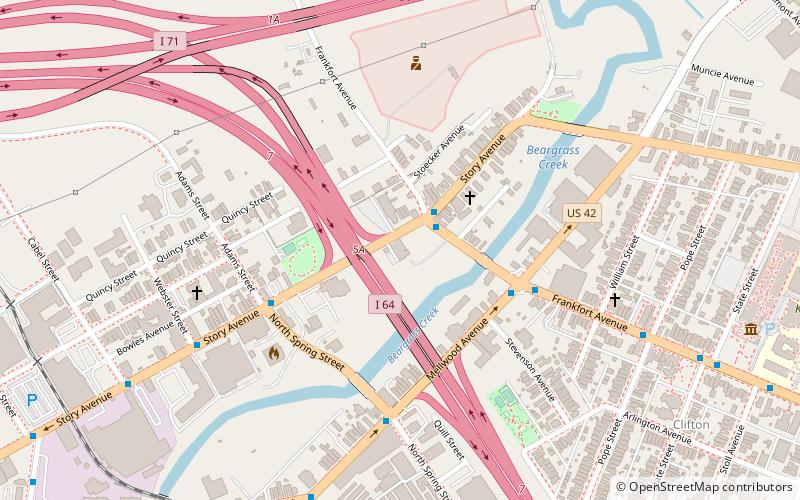
Public transportation stops near this location
- Bus
 Bus
Bus
- Calculate routeMain / Railroad 13 min walk
- Calculate routeMain / Mellwood 14 min walk
- Calculate routeJohnson / Market 15 min walk
- Calculate routeMain / Bickel 15 min walk
Day trips


Frequently Asked Questions (FAQ)
Which popular attractions are close to Eastern Cemetery?
Nearby attractions include Union Monument in Louisville, Louisville (5 min walk), 32nd Indiana Monument, Louisville (7 min walk), Irish Hill, Louisville (8 min walk), Highland Presbyterian Church, Louisville (11 min walk).
How to get to Eastern Cemetery by public transport?
The nearest stations to Eastern Cemetery:
Bus
Bus
- Main / Railroad • Lines: 15East Chenoweth&VA, 15East LaGrange, 15East LimeKiln, 15East LimeKiln&VA (13 min walk)
- Main / Mellwood • Lines: 15East Chenoweth&VA, 15East LaGrange, 15East LimeKiln, 15East LimeKiln&VA (14 min walk)