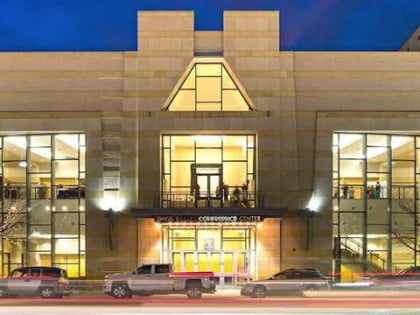
Fort Buenaventura, Ogden
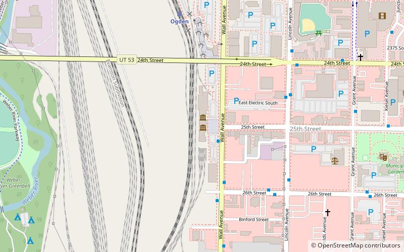
Map
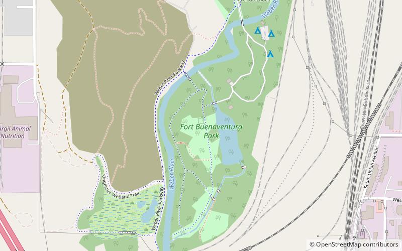
Map

Facts and practical information
Fort Buenaventura, located in west Ogden, Utah, United States, was the first permanent Anglo settlement in the Great Basin. Built just east of the Weber River in 1846 by Miles Goodyear, the fort and its surrounding lands were purchased by Mormon settlers in 1847 and renamed Brownsville. Following flooding along the river in 1850 the fort was abandoned. ()
Elevation: 4301 ft a.s.l.Coordinates: 41°12'53"N, 111°59'24"W
Address
RailyardOgden
Contact
+1 801 745 2550
Social media
Add
Day trips
Fort Buenaventura – popular in the area (distance from the attraction)
Nearby attractions include: Lindquist Field, Ogden Utah Temple, Historic 25th Street, Ogden/Weber Municipal Building.
Frequently Asked Questions (FAQ)
Which popular attractions are close to Fort Buenaventura?
Nearby attractions include Utah Cowboy and Western Heritage Museum, Ogden (18 min walk), Marshall White Center, Ogden (20 min walk), Historic 25th Street, Ogden (22 min walk), Congregation B'rith Sholem Synagogue, Ogden (23 min walk).
How to get to Fort Buenaventura by public transport?
The nearest stations to Fort Buenaventura:
Train
Bus
Train
- Ogden (21 min walk)
Bus
- Washington Blvd / 24th St • Lines: 612 (29 min walk)


