Kaiser Convention Center, Oakland
Map
Map

Facts and practical information
Kaiser Convention Center is a historic, publicly owned multi-purpose building located in Oakland, California. The facility includes a 5,492-seat arena, a large theater, and a large ballroom. The building is #27 on the list of Oakland Historic Landmarks. and was listed on the National Register of Historic Places in 2021. ()
Completed: 1914 (112 years ago)Coordinates: 37°47'51"N, 122°15'43"W
Address
Central Oakland (Downtown Oakland)Oakland
ContactAdd
Social media
Add
Day trips
Kaiser Convention Center – popular in the area (distance from the attraction)
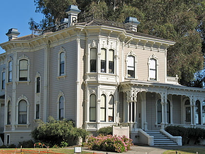
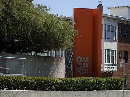
Nearby attractions include: Camron-Stanford House, Lake Merritt, Oakland Museum of California, Heinold's First and Last Chance Saloon.
Frequently Asked Questions (FAQ)
Which popular attractions are close to Kaiser Convention Center?
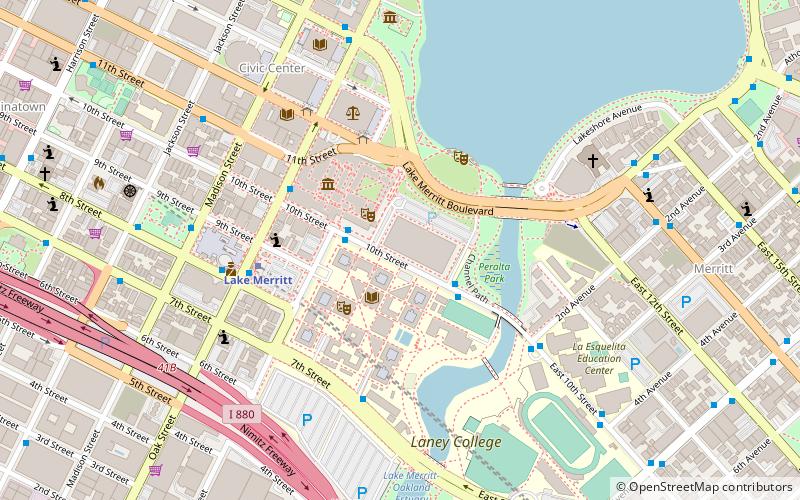
Nearby attractions include Laney College, Oakland (2 min walk), Oakland Museum of California, Oakland (3 min walk), Peralta Park, Oakland (3 min walk), St. George Serbian Orthodox Church - Oakland, Oakland (5 min walk).
How to get to Kaiser Convention Center by public transport?
The nearest stations to Kaiser Convention Center:
Bus
Metro
Train
Ferry
Bus
- 10th Street & Fallon Street • Lines: 62 (2 min walk)
- Kaiser Convention Center • Lines: 62 (3 min walk)
Metro
- Lake Merritt • Lines: Blue, Green, Orange (5 min walk)
- Oakland City Center - 12th Street • Lines: Orange, Red, Yellow (18 min walk)
Train
- Oakland-Jack London Square (15 min walk)
Ferry
- Oakland Jack London Square Terminal • Lines: San Francisco Bay Ferry (26 min walk)

