Maples Pavilion, Palo Alto

Gallery (1)
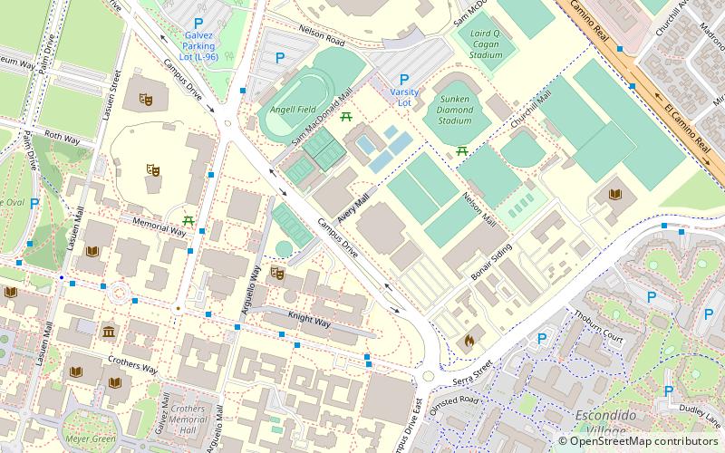
Map
Map
Facts and practical information
Maples Pavilion is a 7,392-seat multi-purpose arena on the campus of Stanford University in Stanford, California. Opened in 1969, Maples underwent a $30 million renovation in March 2004 and reopened ahead of schedule, in time for conference play that December. It was named after its principal donor, Roscoe Maples. ()
Coordinates: 37°25'47"N, 122°9'40"W
Getting there by public transportation
Public transportation stops near this location
- Bus
- Train
 Bus
Bus
- Calculate routeJane Stanford Way & Campus Drive 5 min walk
- Calculate routeGraduate School of Business 5 min walk
- Calculate routeSchwab Residential Center 5 min walk
- Calculate routeManzanita Field 5 min walk
- Calculate routeStanford 17 min walk
- Calculate routePalo Alto 26 min walk
- Calculate routeCalifornia Avenue 27 min walk
Day trips


Frequently Asked Questions (FAQ)
Which popular attractions are close to Maples Pavilion?
Nearby attractions include Stanford Memorial Auditorium, Palo Alto (8 min walk), Frost Amphitheater, Palo Alto (8 min walk), Toyon Hall, Palo Alto (8 min walk), Bing Concert Hall, Palo Alto (9 min walk).
How to get to Maples Pavilion by public transport?
The nearest stations to Maples Pavilion:
Bus
Train
Bus
- Jane Stanford Way & Campus Drive • Lines: X (5 min walk)
- Graduate School of Business • Lines: X (5 min walk)
Train
- Stanford (17 min walk)
- Palo Alto (26 min walk)