The Depot, Salt Lake City
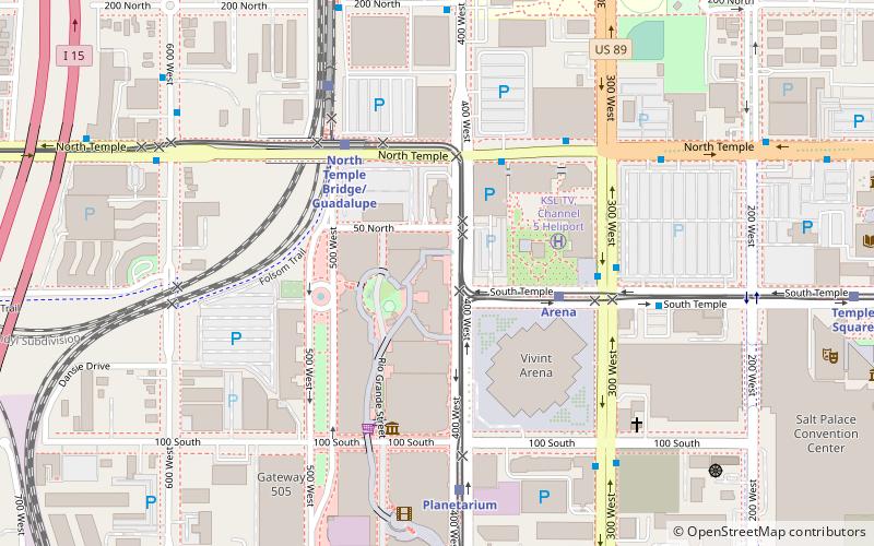
Map

Map

Facts and practical information
The Salt Lake City Union Pacific Depot is a building on the western edge of downtown Salt Lake City, Utah, United States. Built in 1908–09, it dates back to the more prosperous era in the history of American railroad travel. As Salt Lake Union Pacific Railroad Station, it is listed on the National Register of Historic Places. ()
Opened: 1908 (118 years ago)Closed: 1986Coordinates: 40°46'11"N, 111°54'11"W
Day trips
The Depot – popular in the area (distance from the attraction)
Nearby attractions include: Sun Trapp, LDS Conference Center, City Creek Center, Salt Lake Tabernacle.
Frequently Asked Questions (FAQ)
Which popular attractions are close to The Depot?
Nearby attractions include Olympic Legacy Plaza, Salt Lake City (2 min walk), Vivint Arena, Salt Lake City (4 min walk), Discovery Gateway, Salt Lake City (5 min walk), Clark Planetarium, Salt Lake City (5 min walk).
How to get to The Depot by public transport?
The nearest stations to The Depot:
Light rail
Train
Bus
Light rail
- Arena • Lines: 701, 704 (4 min walk)
- North Temple Bridge/Guadalupe • Lines: 704 (5 min walk)
Train
- North Temple Bridge/Guadalupe (6 min walk)
- Salt Lake Central (17 min walk)
Bus
- North Temple Station (9 min walk)
- Salt Lake Central (14 min walk)


