Mukilteo Lighthouse Park, Mukilteo
Map
Map

Facts and practical information
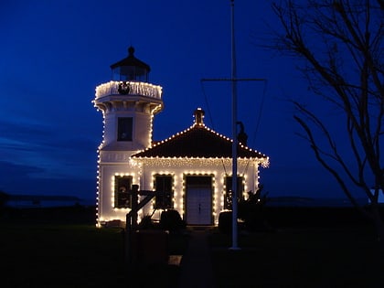
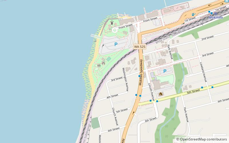
Mukilteo Lighthouse Park encompasses the lighthouse at the west end of the city of Mukilteo, Washington, and 12 acres south of it. The property is west and south of the Washington State Ferries terminal with ferry service to Clinton, Whidbey Island, and is bordered on the south and east by the BNSF Railway mainline. Whidbey Island lies across a narrow portion of Possession Sound and is easily visible from the shore. ()
Elevation: 20 ft a.s.l.Coordinates: 47°56'47"N, 122°18'22"W
Address
MukilteoMukilteo
ContactAdd
Social media
Add
Day trips
Mukilteo Lighthouse Park – popular in the area (distance from the attraction)
Nearby attractions include: Everett Mall, Mukilteo Light, Flying Heritage & Combat Armor Museum, Future of Flight Aviation Center & Boeing Tour.
Frequently Asked Questions (FAQ)
Which popular attractions are close to Mukilteo Lighthouse Park?
Nearby attractions include Mukilteo Light, Mukilteo (5 min walk), Japanese Gulch, Everett (22 min walk).
