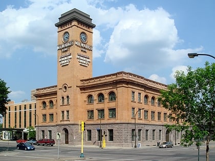
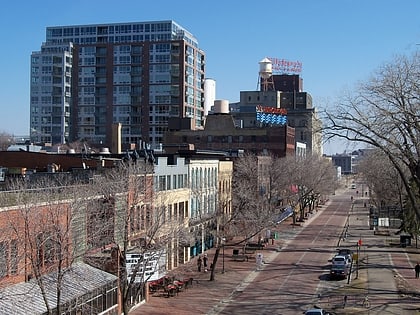
Minneapolis station, Minneapolis
Map
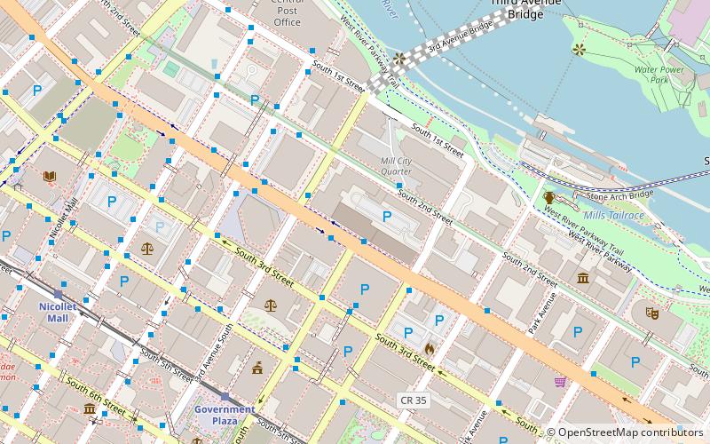
Map

Facts and practical information
The Chicago, Milwaukee, St. Paul and Pacific Depot Freight House and Train Shed, now officially named The Depot, is a historic railroad depot in downtown Minneapolis, Minnesota, United States. At its peak, the station served 29 trains per day. Following decline, the station was closed and eventually adapted into various other uses. ()
Architectural style: Renaissance revivalCoordinates: 44°58'47"N, 93°15'46"W
Day trips
Minneapolis station – popular in the area (distance from the attraction)
Nearby attractions include: U.S. Bank Stadium, Mill City Museum, Saint Anthony Falls, Stone Arch Bridge.
Frequently Asked Questions (FAQ)
Which popular attractions are close to Minneapolis station?
Nearby attractions include The Carlyle, Minneapolis (4 min walk), Ceresota Building, Minneapolis (4 min walk), Minneapolis Grain Exchange, Minneapolis (5 min walk), City of Lakes Building, Minneapolis (5 min walk).
How to get to Minneapolis station by public transport?
The nearest stations to Minneapolis station:
Bus
Light rail
Train
Bus
- 2nd Avenue & Washington Avenue • Lines: 250C, 250M, 270 (4 min walk)
- 4 Av S • Lines: 3A, 3B, 3C, 3E, 3K, 3S (5 min walk)
Light rail
- Government Plaza • Lines: 901, 902 (7 min walk)
- U.S. Bank Stadium • Lines: 901, 902 (10 min walk)
Train
- Target Field (19 min walk)
