Station Square, Pittsburgh
Map
Gallery
Facts and practical information
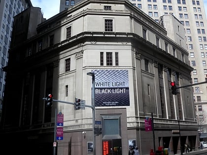
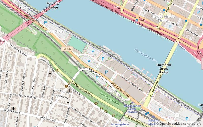
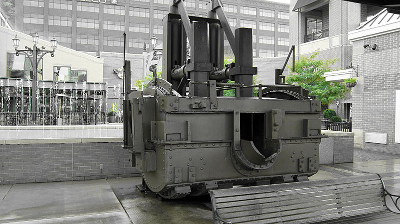
Station Square is a 52-acre indoor and outdoor shopping and entertainment complex located in the South Shore neighborhood of Pittsburgh, Pennsylvania, United States across the Monongahela River from the Golden Triangle of downtown Pittsburgh. Station Square occupies the buildings and land formerly occupied by the historic Pittsburgh & Lake Erie Railroad Complex, including the Pittsburgh & Lake Erie Railroad Station, which are separately listed on the National Register of Historic Places. ()
Coordinates: 40°26'6"N, 80°0'27"W
Day trips
Station Square – popular in the area (distance from the attraction)
Nearby attractions include: Highmark Stadium, Fort Pitt Museum, PPG Place, Benedum Center.
Frequently Asked Questions (FAQ)
Which popular attractions are close to Station Square?
Nearby attractions include Gateway Clipper Fleet, Pittsburgh (2 min walk), Highmark Stadium, Pittsburgh (4 min walk), Mount Washington Branch of the Carnegie Library of Pittsburgh, Pittsburgh (4 min walk), Grand View United Presbyterian, Pittsburgh (5 min walk).
How to get to Station Square by public transport?
The nearest stations to Station Square:
Bus
Light rail
Train
Bus
- South Busway at Station Square • Lines: 40 (8 min walk)
- Station Square (9 min walk)
Light rail
- Station Square • Lines: Blue, Red, Silver (9 min walk)
- First Avenue • Lines: Blue, Red, Silver (15 min walk)
Train
- Pittsburgh Union Station (28 min walk)


