Ogden Stadium, Ogden
Map
Facts and practical information
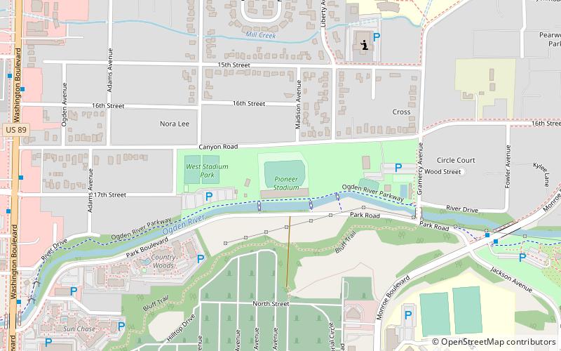
Ogden Pioneer Stadium is a multi-purpose stadium located within Lorin Farr Park in Ogden, Utah. ()
Coordinates: 41°14'14"N, 111°57'43"W
Address
668 17TH StCanyon RoadOgden
ContactAdd
Social media
Add
Getting there by public transportation
Public transportation stops near this location
- Bus
- Train
 Bus
Bus
- Calculate routeWashington Blvd / 24th St 29 min walk
- Calculate routeOgden 34 min walk
Day trips


Frequently Asked Questions (FAQ)
Which popular attractions are close to Ogden Stadium?
Nearby attractions include Lorin farr skate park., Ogden (3 min walk), Ogden Botanical Gardens, Ogden (13 min walk), Ogden Valley, Ogden (17 min walk), Ogden Utah Tabernacle, Ogden (20 min walk).
How to get to Ogden Stadium by public transport?
The nearest stations to Ogden Stadium:
Bus
Train
Bus
- Washington Blvd / 24th St • Lines: 612 (29 min walk)
Train
- Ogden (34 min walk)