Alvin Larkins Park, Seattle
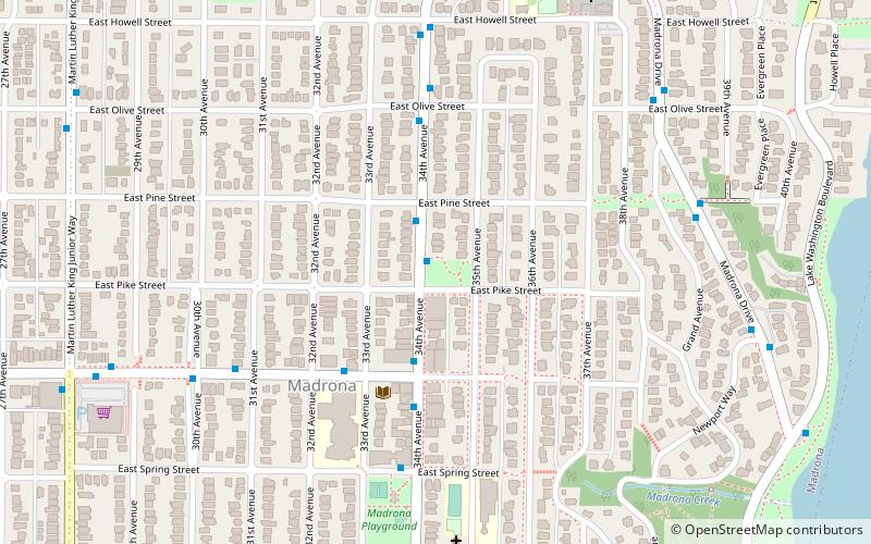
Map

Map

Facts and practical information
Elevation: 318 ft a.s.l.Coordinates: 47°36'51"N, 122°17'20"W
Day trips
Alvin Larkins Park – popular in the area (distance from the attraction)
Nearby attractions include: Seattle Japanese Garden, Seattle Asian Art Museum, Leschi Park, Viretta Park.
Frequently Asked Questions (FAQ)
Which popular attractions are close to Alvin Larkins Park?
Nearby attractions include Madrona, Seattle (9 min walk), Madrona Park, Seattle (11 min walk), Lake Washington Boulevard, Seattle (12 min walk), Viretta Park, Seattle (12 min walk).
How to get to Alvin Larkins Park by public transport?
The nearest stations to Alvin Larkins Park:
Bus
Tram
Bus
- Martin L King Jr Way & E Union St • Lines: 8 (10 min walk)
Tram
- 14th & Washington • Lines: First Hill Streetcar (39 min walk)


