Cray Plaza, Saint Paul
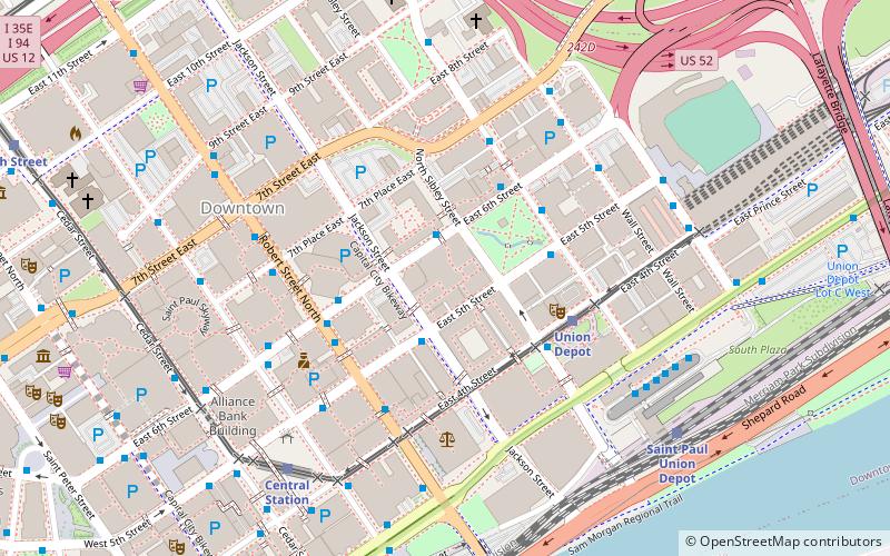
Map
Gallery
Facts and practical information
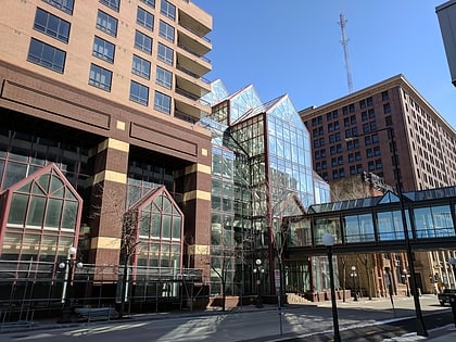
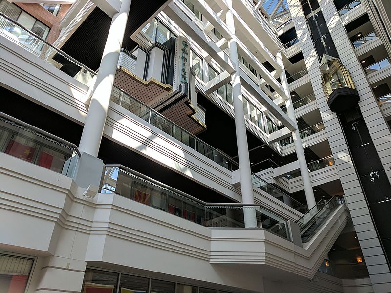
Cray Plaza, located in the Lowertown neighborhood of Saint Paul, Minnesota, United States, provides space for working, living, eating, and recreating on one square city block opened in 1986. ()
Completed: 1986 (40 years ago)Floors: 46Coordinates: 44°56'56"N, 93°5'21"W
Day trips
Cray Plaza – popular in the area (distance from the attraction)
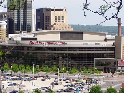
Nearby attractions include: Xcel Energy Center, Science Museum of Minnesota, CHS Field, Minnesota Children's Museum.
Frequently Asked Questions (FAQ)
Which popular attractions are close to Cray Plaza?
Nearby attractions include Merchants National Bank, Saint Paul (1 min walk), Manhattan Building, Saint Paul (3 min walk), Pioneer and Endicott Buildings, Saint Paul (3 min walk), Minnesota Museum of American Art, Saint Paul (4 min walk).
How to get to Cray Plaza by public transport?
The nearest stations to Cray Plaza:
Bus
Light rail
Train
Bus
- 6th Street & Sibley Street • Lines: 351, 351H, 353, 363, 63, 94D, 94F (2 min walk)
- 5th Street & Jackson Street • Lines: 351, 351H, 353, 363, 63, 94D (2 min walk)
Light rail
- Union Depot • Lines: 902 (4 min walk)
- Central Station • Lines: 902 (6 min walk)
Train
- Saint Paul Union Depot (7 min walk)
