Nicollet Park, Minneapolis
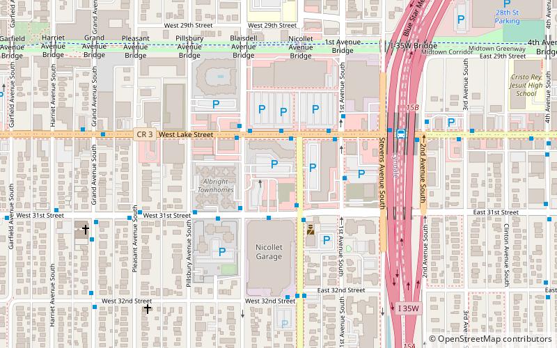
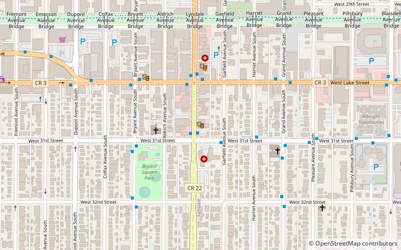
Map
Facts and practical information
Nicollet Park was a baseball ground located in Minneapolis, Minnesota, United States. The venue was home to the minor league Minneapolis Millers of the Western League and later American Association from 1896 to 1955. ()
Capacity: 4000Coordinates: 44°56'51"N, 93°16'43"W
Address
Nicollet Ave South and 31st StPowderhorn (Lyndale)Minneapolis 55408
ContactAdd
Social media
Add
Day trips
Nicollet Park – popular in the area (distance from the attraction)
Nearby attractions include: Minneapolis Institute of Art, Midtown Global Market, Seven Points, American Swedish Institute.
Frequently Asked Questions (FAQ)
Which popular attractions are close to Nicollet Park?
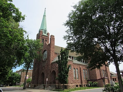
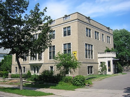
Nearby attractions include Stewart Memorial Presbyterian Church, Minneapolis (6 min walk), Bennett–McBride House, Minneapolis (8 min walk), Healy Block Residential Historic District, Minneapolis (8 min walk), Lyndale, Minneapolis (9 min walk).
How to get to Nicollet Park by public transport?
The nearest stations to Nicollet Park:
Bus
Bus
- 31 St W • Lines: 4, 4A, 4B, 4G, 4L, 4P (13 min walk)
- Lake St W • Lines: 4A, 4L, 4P (13 min walk)


