Wakonda State Park

Gallery (1)
Map
Map
Facts and practical information
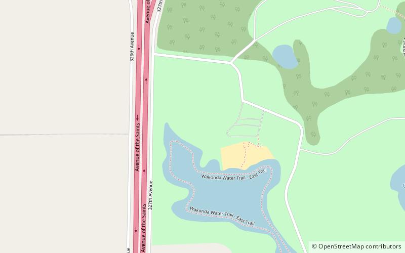
Wakonda State Park is a public recreation area covering 1,054 acres near La Grange in Lewis County, Missouri. The state park features water recreation on six small lakes. ()
Established: 1960 (66 years ago)Coordinates: 40°0'18"N, 91°31'26"W
Day trips
Wakonda State Park – popular in the area (distance from the attraction)
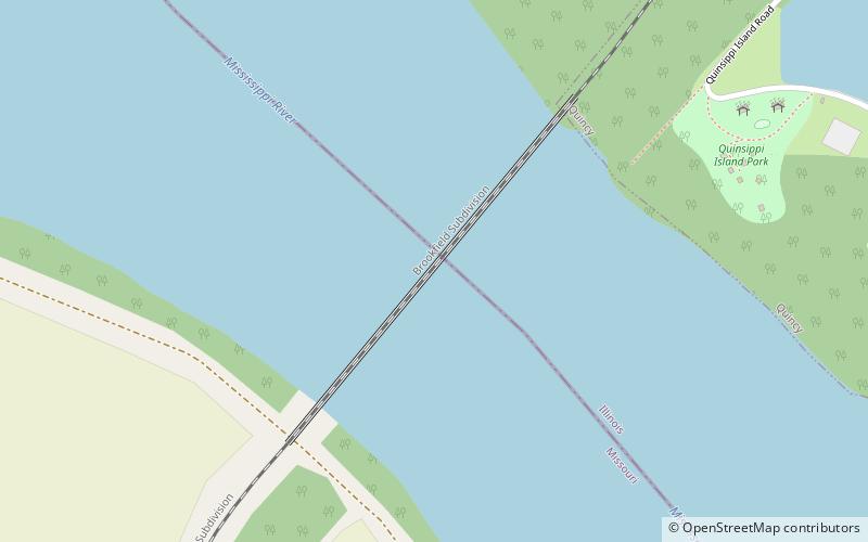
Nearby attractions include: Quincy Rail Bridge.