Waterman–Winsor Farm, Smithfield
Map

Gallery

Facts and practical information
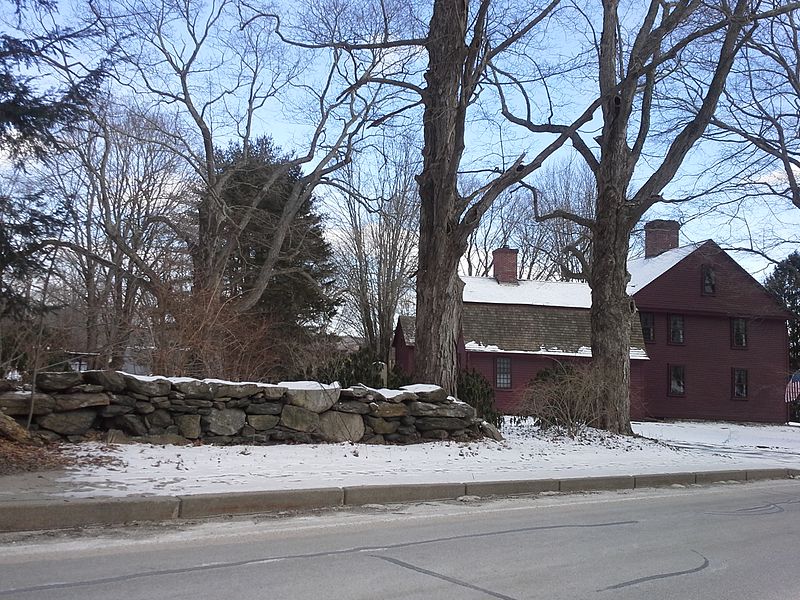
The Waterman–Winsor Farm is a historic farm house located in the Greenville part of Smithfield, Rhode Island. ()
Built: 1710 (316 years ago)Coordinates: 41°52'55"N, 71°33'45"W
Address
Central GreenvilleSmithfield
ContactAdd
Social media
Add
Day trips
Waterman–Winsor Farm – popular in the area (distance from the attraction)
Nearby attractions include: Harmony Chapel and Cemetery, Smith–Appleby House, Old Congregational Church, Bryant University.


