Whitehall State Park
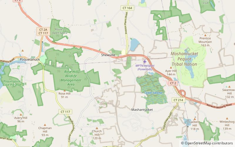
Map

Map

Facts and practical information
Whitehall State Park is a Massachusetts state park located in the town of Hopkinton and managed by the Department of Conservation and Recreation. The park was created in 1947 when the Whitehall Reservoir was removed from service as a water source for the Greater Boston area. ()
Established: 1947 (79 years ago)Coordinates: 41°28'49"N, 71°59'21"W
Day trips
Whitehall State Park – popular in the area (distance from the attraction)
Nearby attractions include: Mohegan Sun, Mashantucket Pequot Museum & Research Center, Foxwoods Resort Casino, Cathedral of Saint Patrick.


