Windsor Meadows State Park
Map

Map

Facts and practical information
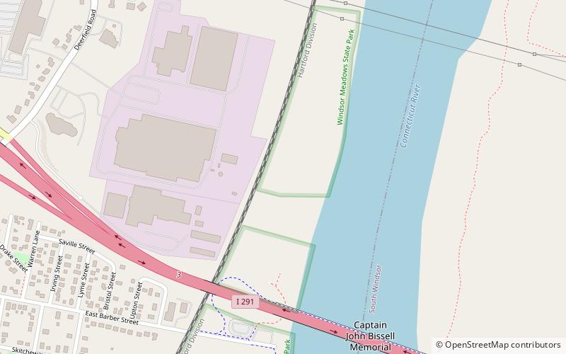
Windsor Meadows State Park is a public recreation area on the west side of the Connecticut River in the town of Windsor, Connecticut. The state park occupies three largely undeveloped sections measuring 48, 19, and 88 acres located between railroad tracks and the river. Park activities include picnicking, fishing, boating, hiking, and biking. ()
Established: 1968 (58 years ago)Coordinates: 41°49'0"N, 72°38'49"W
Day trips
Windsor Meadows State Park – popular in the area (distance from the attraction)
Nearby attractions include: Gordon Loomis House, George G. Loomis House, Timothy Dwight Mills House, Giles Barber House.


