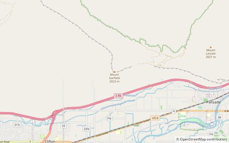
Mount Garfield, Grand Junction
Map

Map

Facts and practical information
Mt. Garfield is the high point of the Book Cliffs, east-northeast of Grand Junction, and overlooking the town of Palisade. Two classic hiking trails ascend the mountain. The mountain was named after President James Garfield a year after Garfield's death. The mountain is composed of Mesaverde Group overlaying Mancos Shale. ()
Coordinates: 39°7'28"N, 108°24'37"W
Address
Grand Junction
ContactAdd
Social media
Add
Day trips
Mount Garfield – popular in the area (distance from the attraction)
Nearby attractions include: Cross Orchards Historic Site, Blue Pig Gallery, James M. Robb – Colorado River State Park, Clifton Community Center and Church.


