Red Cedar River, Lansing

Gallery (1)
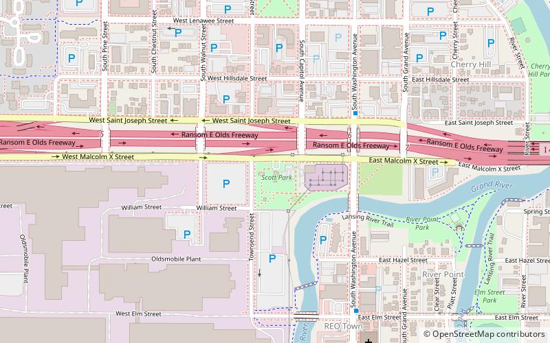
Map
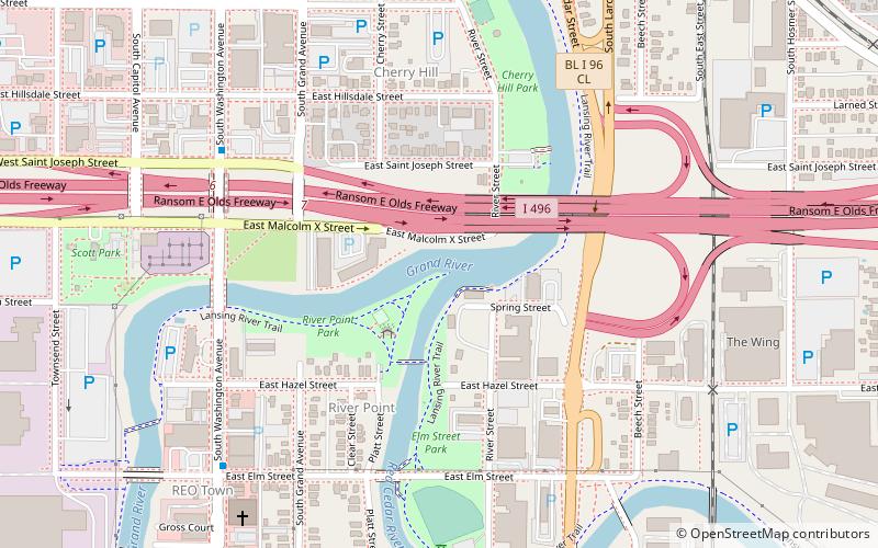
Map
Facts and practical information
The Red Cedar River is a tributary of the Grand River in central Michigan in the United States. The river is approximately 51.1 miles long and drains a watershed of approximately 461 square miles in the Lansing–East Lansing metropolitan area and suburban and rural areas to the east. ()
Length: 51 miCoordinates: 42°43'29"N, 84°32'53"W
Address
Southside (River Point)Lansing
ContactAdd
Social media
Add
Getting there by public transportation
Public transportation stops near this location
- Bus
 Bus
Bus
- Calculate routeCATA Transportation Center 9 min walk
Day trips


Frequently Asked Questions (FAQ)
Which popular attractions are close to Red Cedar River?
Nearby attractions include East Elm Street, Lansing (6 min walk), R.E. Olds Transportation Museum, Lansing (9 min walk), Michigan Women's Hall of Fame, Lansing (9 min walk), Michigan Conference of Seventh-day Adventists, Lansing (12 min walk).
How to get to Red Cedar River by public transport?
The nearest stations to Red Cedar River:
Bus
Bus
- CATA Transportation Center (9 min walk)