Meaher State Park, Mobile
Map
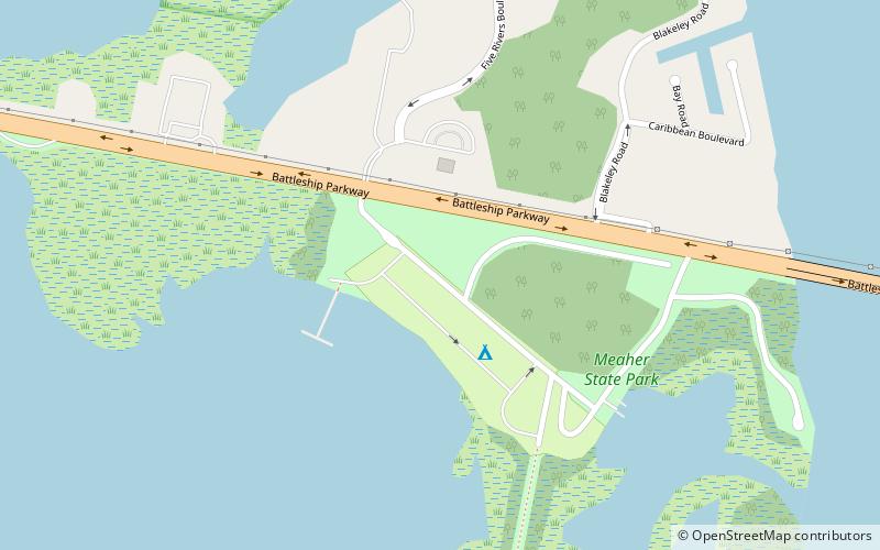
Map

Facts and practical information
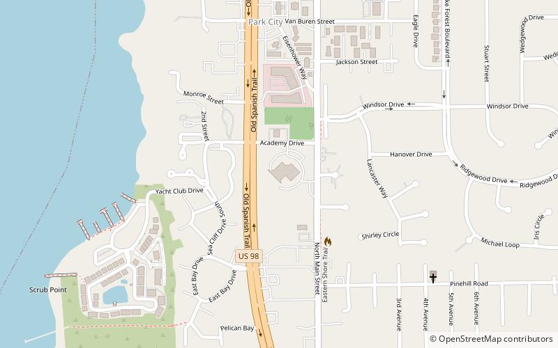
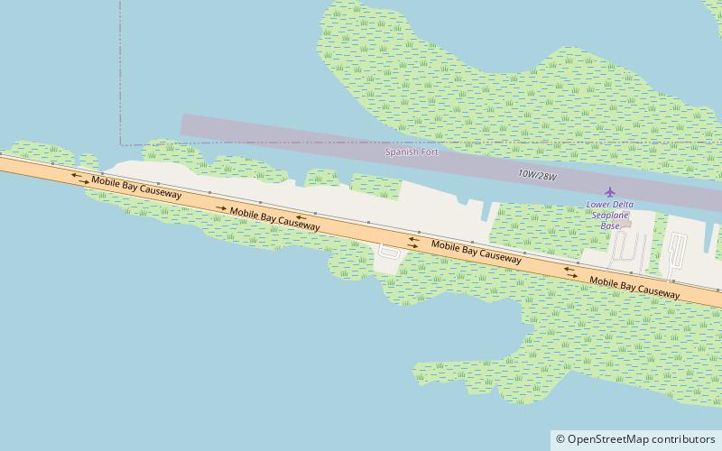
Meaher State Park is a publicly owned recreation area located on Big Island, an island at the north end of Mobile Bay that lies within the city limits of Spanish Fort, Alabama. The state park occupies 1,327 acres along the shoreline of Ducker Bay, at the junction of Mobile Bay and the Mobile-Tensaw River Delta. It is surrounded by wetlands of the Mobile Bay estuary. The park is accessed from Battleship Parkway, known locally as the "Causeway," and is managed by Alabama Department of Conservation and Natural Resources. ()
Established: 1989 (37 years ago)Coordinates: 30°40'6"N, 87°56'4"W
Day trips
Meaher State Park – popular in the area (distance from the attraction)
Nearby attractions include: USS Alabama, Battleship Memorial Park, USS Drum, Jubilee Parkway.

