Utah 279, Moab
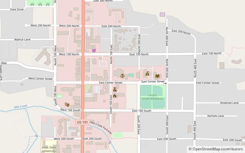
Map
Facts and practical information
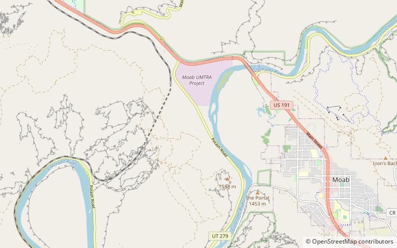
State Route 279 is a state highway in the U.S. state of Utah. The highway was constructed in 1962–1963 to service the Cane Creek potash mine and processing plant southwest of Moab. The highway was named one of the most beautiful highways opened to traffic in 1963. The entire length of SR-279 has been designated the Potash – Lower Colorado River Scenic Byway by the Utah State Legislature, however is known locally as Potash Road. ()
Coordinates: 38°35'20"N, 109°35'44"W
Address
Moab
ContactAdd
Social media
Add
Day trips
Utah 279 – popular in the area (distance from the attraction)
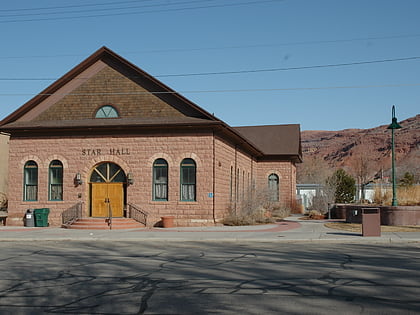
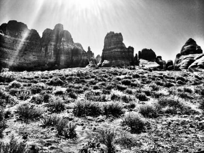
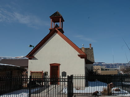
Nearby attractions include: Slickrock Trail, Grand County Public Library, Star Hall, Moab Cliffs & Canyons.

