Ryan Dam, Great Falls
Map

Map

Facts and practical information
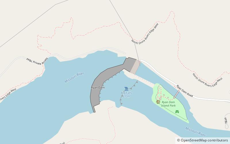
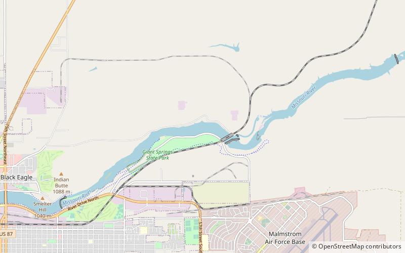
Ryan Dam is a hydroelectric dam on the Missouri River, 10 miles downstream from the city of Great Falls in the U.S. state of Montana. The dam is 1,336 feet long and 61 feet high; its reservoir is 7 miles long and has a storage capacity of 5,000 acre-feet. It is a run-of-river dam. The dam is built on the largest of the five Great Falls of the Missouri, the "Big Falls", also sometimes called "Great Falls". Since 1915, the six-unit powerhouse on the left side of the dam has occupied a significant portion of the 87-foot high waterfall. ()
Coordinates: 47°34'10"N, 111°7'27"W
Address
Great Falls
ContactAdd
Social media
Add
Day trips
Ryan Dam – popular in the area (distance from the attraction)
Nearby attractions include: Rainbow Falls, Colter Falls.


